Channel & Berth Profile
Pilotage, Tugs & Services
Pilotage compulsoryYES
Pilotage availableYES
Pilotage advisableYES
Tug assistanceYES
Potable waterYES
MedicalYES
Facilities & Capabilities
Container—
Ro-Ro—
Liquid bulk—
Dry bulk—
Oil terminal—
Break bulk—
Dry dock—
RepairsNO
BunkeringYES
Rail link—
Dangerous cargo—
ISPS security—
Harbour Specifications
Harbour size
Small
Harbour type
Coastal (Natural)
Shelter
Good
Water body
Caribbean Sea; North Atlantic Ocean
Overhead limit
No
Pilotage
Yes
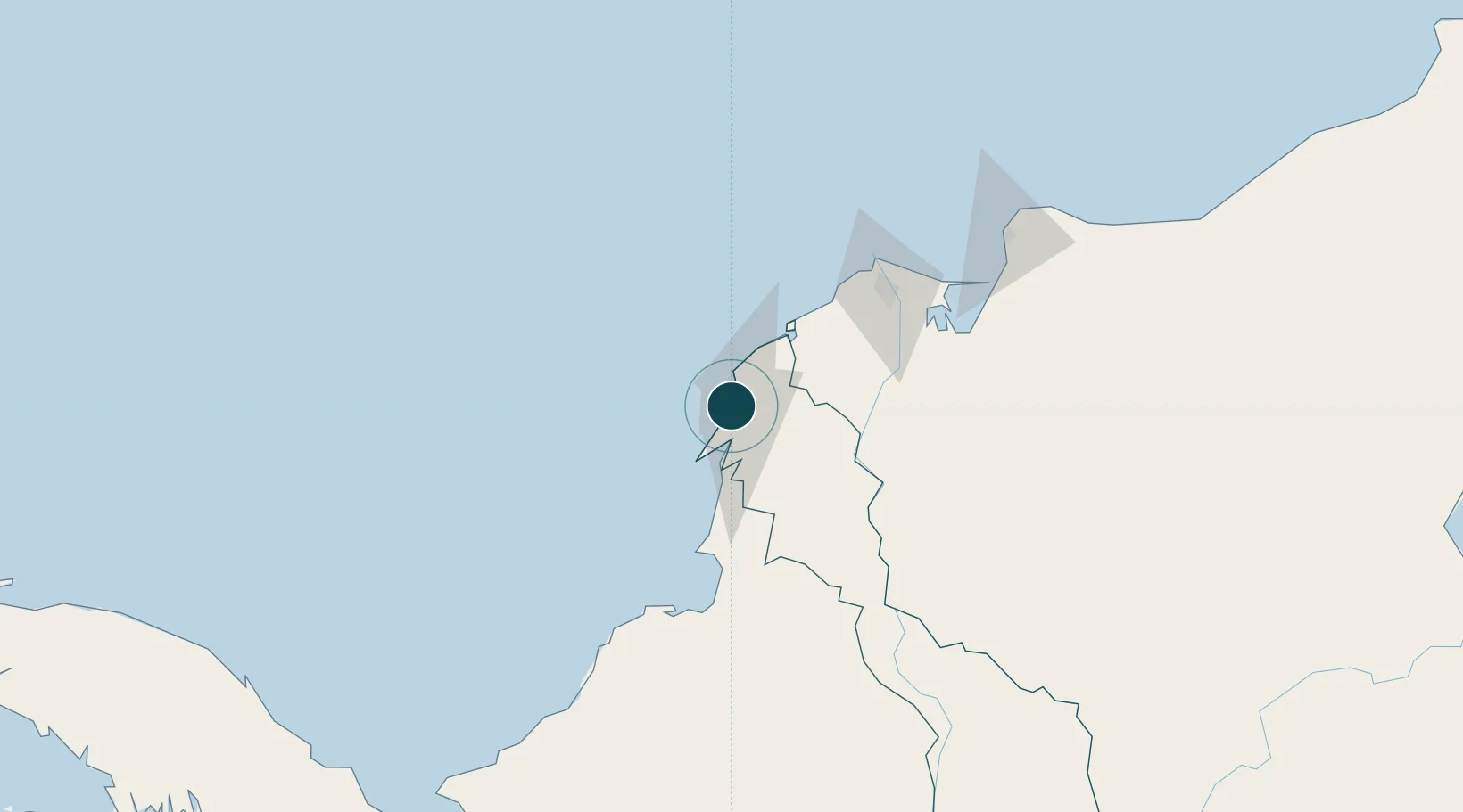
Location
Nearby Logistics Neighbours
Ports
- 1Cartagena2 km
- 2Mamonal9 km
- 3Covenas Offshore Term.102 km
- 4Barranquilla105 km
- 5Covenas111 km
Cities
- 1Sociedad Portuaria Regional Cartagena0 km
- 2Contecar3 km
- 3Cartagena5 km
- 4Mamonal10 km
- 5Turbaco17 km
Airports
DatabookThe Record of Consolidated Knowledge
Colombia beyond logistics?