Transport Functions
Port
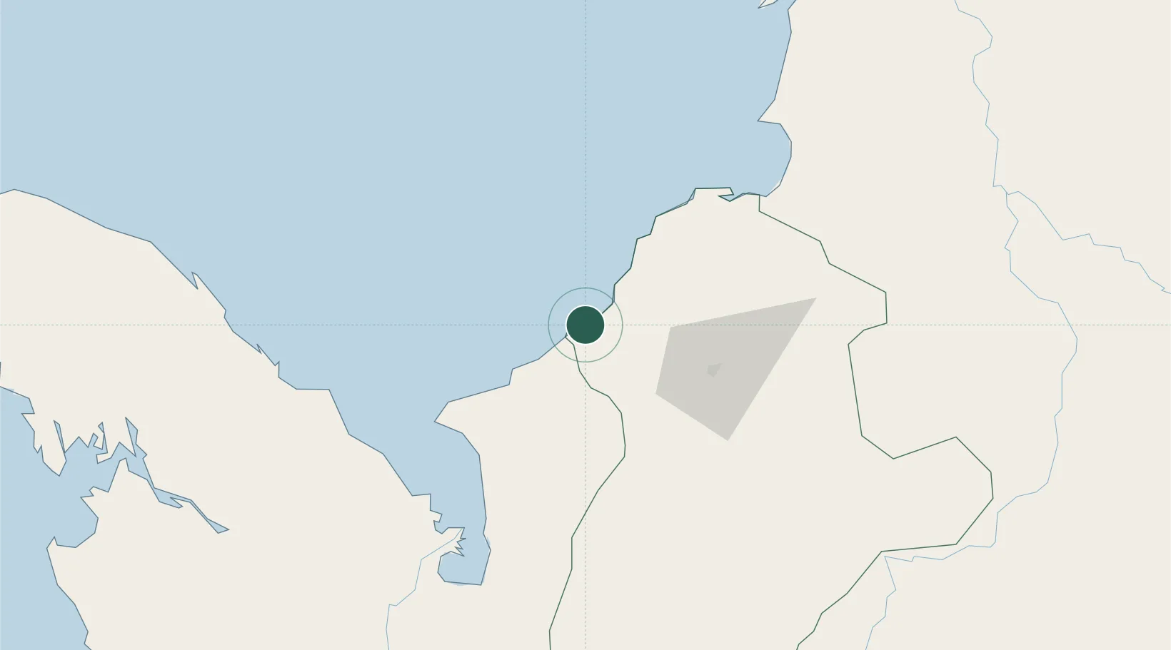
Location
Nearby Logistics Neighbours
Cities
- 1Puerto Limón56 km
- 2Covenas Offshore Terminal95 km
- 3Tolú110 km
- 4Turbo115 km
- 5El Carmen de Bolívar164 km
Ports
- 1Covenas93 km
- 2Covenas Offshore Term.95 km
- 3Turbo101 km
- 4Mamonal181 km
- 5El Bosque189 km
Airports
- 1Los Garzones Airport60 km
- 2Coveñas Airport92 km
- 3Golfo de Morrosquillo Airport108 km
- 4Las Brujas Airport127 km
- 5Antonio Roldán Betancur Airport129 km
DatabookThe Record of Consolidated Knowledge
Colombia beyond logistics?