Medium airport · Colombia

Los Garzones AirportSKMR
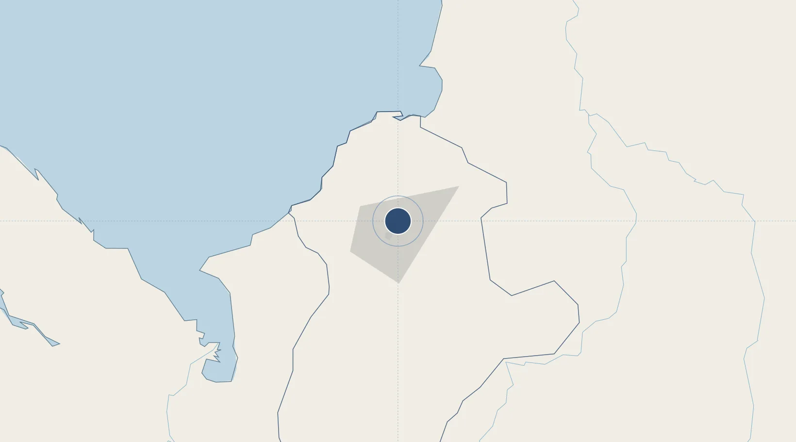
8.8237°, -75.8258°
7,539 ft
Longest runway
1
Runways
41 ft
Elevation

Runway & Layout

Los Garzones Airport runway & taxiway layout
Runway & taxiway layout — OpenStreetMap (ODbL) / OurAirports

Radio Frequencies

TWR
118.1 MHz
INFO
127.5 MHz
MONTERIA FIS
RDO
348.8 MHz
MONTERIA RDO
OurAirports

Navaids

MTR VOR-DME Monteria 114.40 MHz
OurAirports

Runways · 1

RunwayDimensions SurfaceTrue headingLit
14/32 7,539 × 150ft Asphalt 138°
OurAirports

Airport Specifications

IATA code
MTR
OurAirports
ICAO code
SKMR
OurAirports
Airport class
Medium airport
OurAirports
Scheduled service
Yes
OurAirports
Runway surface
Asphalt
OurAirports
Served city
Montería
OurAirports

Location

Location of SKMR
Natural Earth 10m (public domain) · Córdoba · SKMR · 8.82, -75.83GoogleOSMYandex

Nearby Logistics Neighbours

Airports
  1. 1Coveñas Airport66 km
  2. 2Golfo de Morrosquillo Airport81 km
  3. 3Las Brujas Airport82 km
  4. 4Juan H White Airport118 km
  5. 5Baracoa Airport119 km
Nearest neighbours — logibook spatial index (haversine) over the source coordinates
Cities
  1. 1Rio Cordoba60 km
  2. 2Puerto Limón74 km
  3. 3Covenas Offshore Terminal76 km
  4. 4Tolú83 km
  5. 5El Carmen de Bolívar126 km
Nearest neighbours — logibook spatial index (haversine) over the source coordinates
Ports
  1. 1Covenas68 km
  2. 2Covenas Offshore Term.76 km
  3. 3Turbo129 km
  4. 4Mamonal169 km
  5. 5El Bosque178 km
Nearest neighbours — logibook spatial index (haversine) over the source coordinates
Trade Zones
  1. 1Uraba Permanent Free Trade Zone140 km
  2. 2Mardique Permanent Free Zone (Zona Franca Permanente Mardique)166 km
  3. 3Permanent Free Trade Zone Santelca171 km
  4. 4Zona Franca la Candelaria172 km
  5. 5Parque Central Permanent Free Trade Zone179 km
Nearest neighbours — logibook spatial index (haversine) over the source coordinates
DatabookThe Record of Consolidated Knowledge
Colombia beyond logistics?
Browse databook

All Sources

AirportsOurAirports
Public domain
Portsthe NGA World Port Index
Public domain (US gov)
LocationsUN/LOCODE
UN/LOCODE — free
Trade Zonesthe World Bank SEZ database
CC BY 4.0
Trade ZonesOpen Zone Map
CC BY
InfrastructureOpenStreetMap
ODbL 1.0
← Colombia airports