UN/LOCODE hub · Congo - Kinshasa
CDMAT
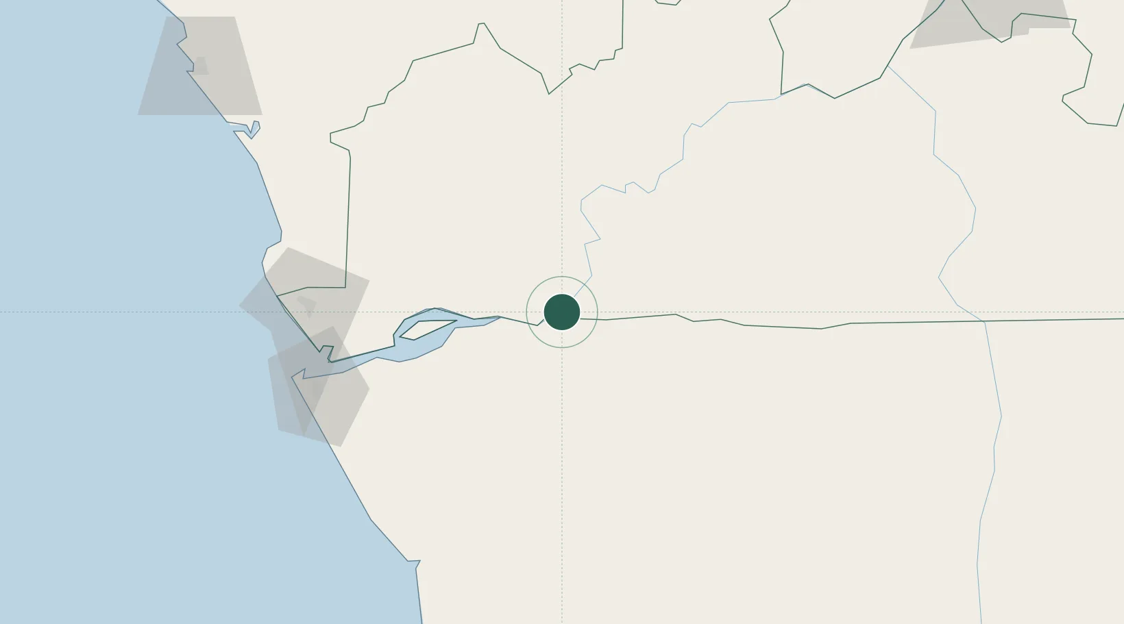
Matadi
-5.8324°, 13.4499°
425,662
Population
2
Transport functions
2
Container terminals
Transport Functions
Port
Airport
Hub Profile
Place type
Regional capital
Region
Bas-Congo
Population
425,662
Time zone
Africa/Kinshasa
Elevation
183 m
Logistics facilities
6
Container terminals
2
Location
Nearby Logistics Neighbours
Cities
- 1Nóqui3 km
- 2Boma44 km
- 3Sazaire Terminal121 km
- 4Soyo129 km
- 5Cabinda141 km
Ports
- 1Boma44 km
- 2Banana119 km
- 3Soyo Angola Lng Terminal128 km
- 4Cabinda142 km
- 5Futila Terminal147 km
Airports
- 1Mbanza Congo Airport101 km
- 2Soyo Airport124 km
- 3Cabinda Airport142 km
- 4Ngot Nzoungou Airport201 km
- 5Antonio Agostinho-Neto International Airport207 km
Trade Zones
DatabookThe Record of Consolidated Knowledge
Congo - Kinshasa beyond logistics?