Channel & Berth Profile
Pilotage, Tugs & Services
Pilotage compulsoryNO
MedicalYES
Facilities & Capabilities
Container—
Ro-Ro—
Liquid bulk—
Dry bulk—
Oil terminal—
Break bulk—
Dry dock—
Repairs—
Bunkering—
Rail link—
Dangerous cargo—
ISPS security—
Harbour Specifications
Harbour size
Very Small
Harbour type
Coastal (Natural)
Shelter
Good
Water body
Alaska-Canada coastal waters; North Pacific Ocean
Tidal range
4 m
Overhead limit
No
Pilotage
No
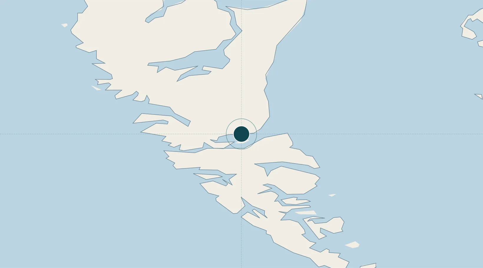
Location
Nearby Logistics Neighbours
Ports
- 1Port Clements49 km
- 2Masset Harbor85 km
- 3Prince Rupert165 km
- 4Port Simpson182 km
- 5Metlakatla212 km
Cities
- 1Harriet Harbour115 km
- 2Prince Rupert162 km
- 3Metlakatla211 km
- 4Falkenberg226 km
- 5Ketchikan235 km
Airports
- 1Sandspit Airport18 km
- 2Masset Airport87 km
- 3Prince Rupert Airport158 km
- 4Annette Island Airport202 km
- 5Metlakatla Seaplane Base212 km
Trade Zones
- 1PrInce George Logistics Park620 km
- 2FTZ Vancouver Island766 km
- 3FTZ No. 128 Whatcom County828 km
- 4FTZ No. 129 Bellingham834 km
- 5FTZ No. 173 Grays Harbor871 km
DatabookThe Record of Consolidated Knowledge
Canada beyond logistics?