Channel & Berth Profile
Pilotage, Tugs & Services
Pilotage compulsoryNO
Shore powerNO
Potable waterYES
Diesel bunkersYES
MedicalYES
Garbage disposalNO
Facilities & Capabilities
Container—
Ro-Ro—
Liquid bulk—
Dry bulk—
Oil terminal—
Break bulk—
Dry dock—
Repairs—
BunkeringYES
Rail link—
Dangerous cargo—
ISPS security—
Harbour Specifications
Harbour size
Very Small
Harbour type
Coastal (Natural)
Shelter
Good
Water body
Alaska-Canada coastal waters; North Pacific Ocean
Tidal range
3 m
Overhead limit
No
Pilotage
No
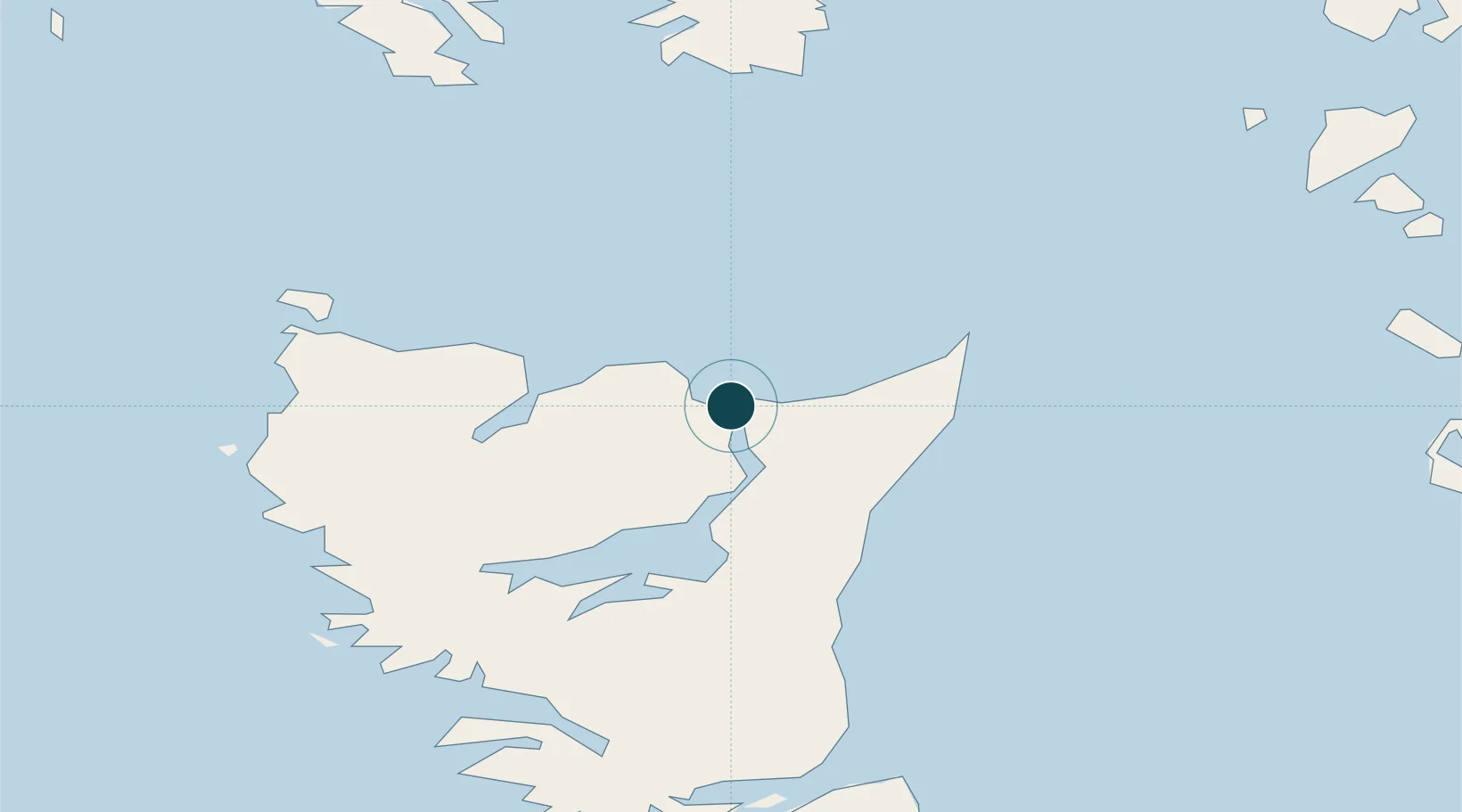
Location
Nearby Logistics Neighbours
Ports
- 1Port Clements37 km
- 2Queen Charlotte85 km
- 3Prince Rupert123 km
- 4Port Simpson127 km
- 5Metlakatla130 km
Cities
- 1Queen Charlotte85 km
- 2Prince Rupert120 km
- 3Metlakatla129 km
- 4Ketchikan151 km
- 5Ward Cove156 km
Airports
- 1Masset Airport2 km
- 2Sandspit Airport88 km
- 3Prince Rupert Airport115 km
- 4Annette Island Airport120 km
- 5Metlakatla Seaplane Base129 km
Trade Zones
- 1PrInce George Logistics Park615 km
- 2FTZ Vancouver Island818 km
- 3FTZ No. 128 Whatcom County881 km
- 4FTZ No. 129 Bellingham886 km
- 5FTZ No. 173 Grays Harbor939 km
DatabookThe Record of Consolidated Knowledge
Canada beyond logistics?