Seaport · Canada
Prince RupertCAPRR
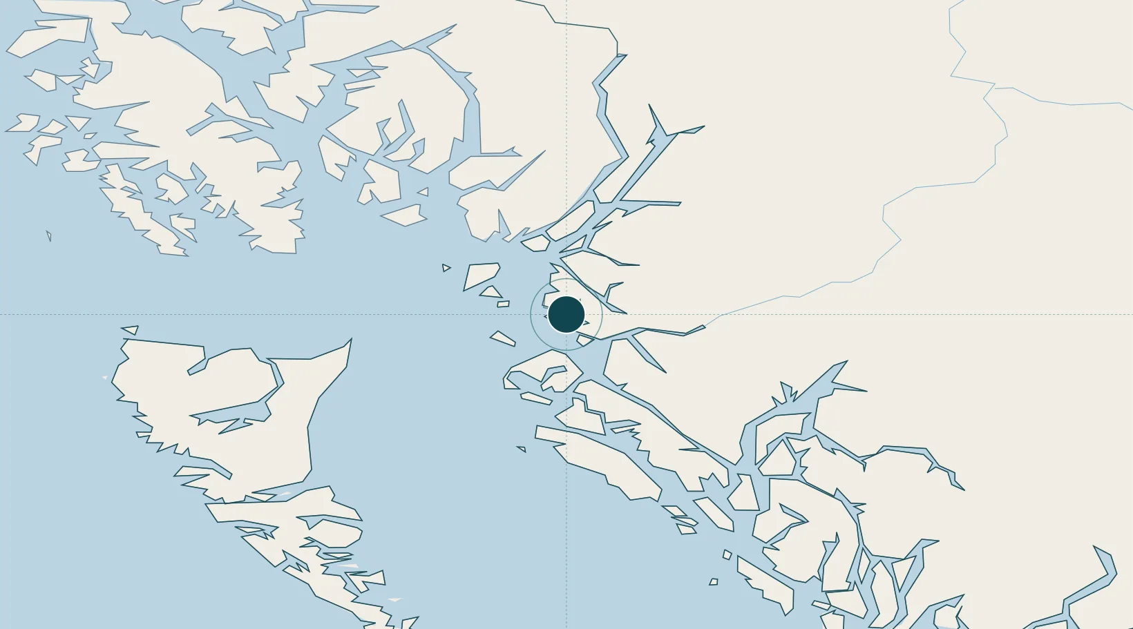
54.3167°, -130.3333°
23.2 m
Channel depth
1
Container terminals
94.4
Port liner connectivity
Channel & Berth Profile
Pilotage, Tugs & Services
Pilotage compulsoryYES
Pilotage availableYES
Pilotage advisableYES
Tug assistanceYES
Salvage tugsYES
Shore powerYES
Potable waterYES
Diesel bunkersYES
MedicalYES
Garbage disposalYES
Facilities & Capabilities
Container—
Ro-Ro—
Liquid bulk—
Dry bulk—
Oil terminal—
Break bulk—
Dry dockNO
RepairsNO
BunkeringYES
Rail linkYES
Dangerous cargo—
ISPS security—
Harbour Specifications
Harbour size
Medium
Harbour type
Coastal (Natural)
Shelter
Good
Water body
Alaska-Canada coastal waters; North Pacific Ocean
Tidal range
4 m
Overhead limit
Yes
Pilotage
Yes
Liner Connectivity
94.4
PLSCI
Port Liner Shipping Connectivity Index for Prince Rupert, as published by UNCTAD for the latest available quarter. Higher values indicate stronger scheduled liner-shipping integration.
Shown relative to the highest per-port PLSCI in the dataset (1,657.9).
Location
Container Terminals · 1
FAIRVIEW CONTAINER TERMINAL
FCTPRR DP WORLD
Nearby Logistics Neighbours
Ports
- 1Port Simpson29 km
- 2Kitimat113 km
- 3Metlakatla121 km
- 4Masset Harbor123 km
- 5Port Clements140 km
Cities
- 1Metlakatla120 km
- 2Ketchikan144 km
- 3Ward Cove150 km
- 4Queen Charlotte164 km
- 5Neets Bay182 km
Airports
- 1Prince Rupert Airport8 km
- 2Annette Island Airport113 km
- 3Northwest Regional Airport Terrace-Kitimat115 km
- 4Metlakatla Seaplane Base121 km
- 5Masset Airport121 km
Trade Zones
- 1PrInce George Logistics Park496 km
- 2FTZ Vancouver Island751 km
- 3FTZ No. 128 Whatcom County814 km
- 4FTZ No. 129 Bellingham820 km
- 5FTZ No. 173 Grays Harbor899 km
DatabookThe Record of Consolidated Knowledge
Canada beyond logistics?