Medium airport · Canada
Sandspit AirportCYZP
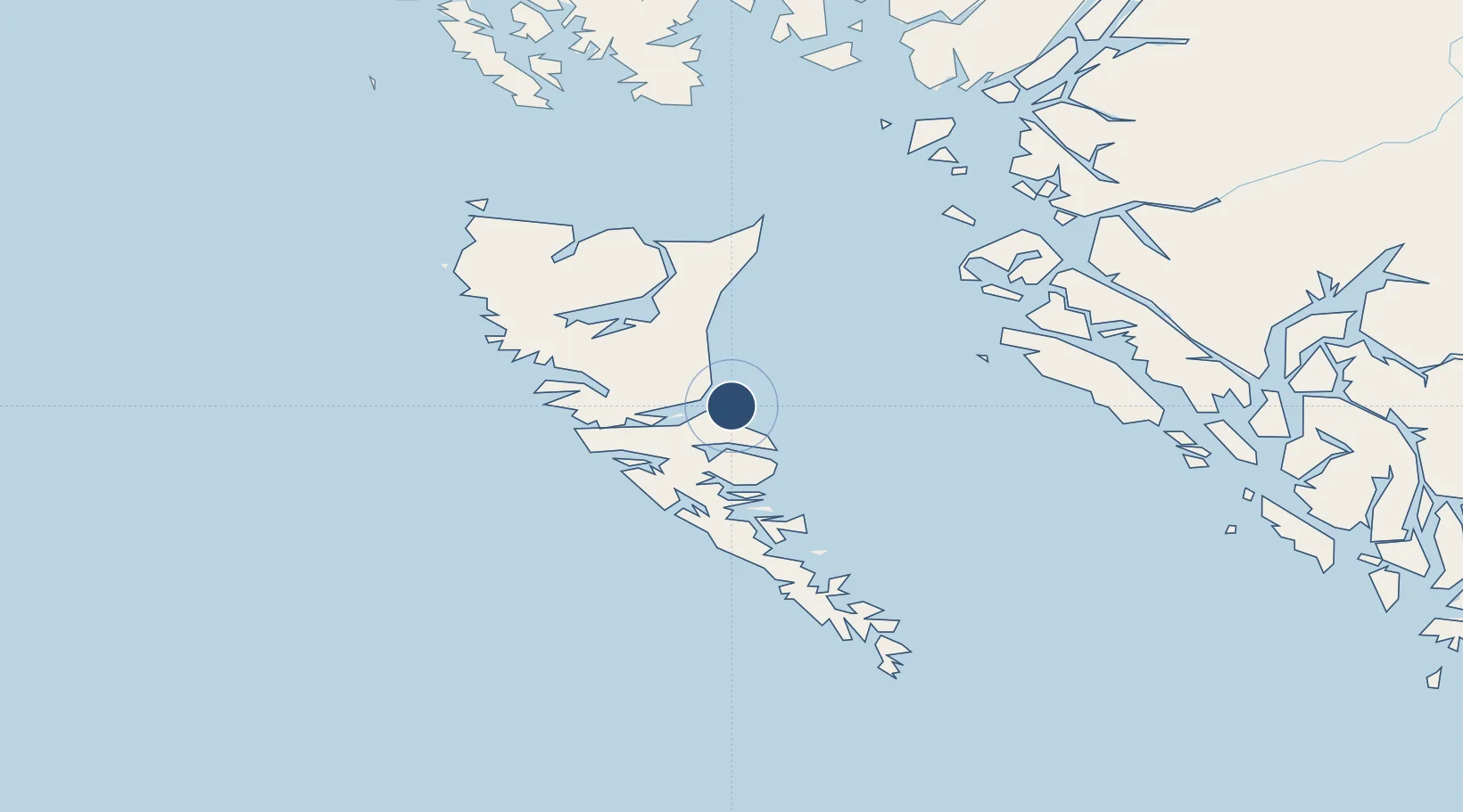
53.2543°, -131.8140°
5,120 ft
Longest runway
1
Runways
21 ft
Elevation
Runway & Layout

Radio Frequencies
AWOS
122.55 MHz
A/G
122.3 MHz
TERRACE RDO
CNTR
133.4 MHz
VANCOUVER CNTR
RCO
126.7 MHz
PACIFIC RDO
Navaids
YZP VORTAC Sandspit 114.10 MHz
Runways · 1
| Runway | Dimensions | Surface | True heading | Lit |
|---|---|---|---|---|
| 13/31 | 5,120 × 150ft | Asphalt | 144° | ✓ |
Airport Specifications
IATA code
YZP
ICAO code
CYZP
Airport class
Medium airport
Scheduled service
Yes
Runway surface
Asphalt
Served city
Sandspit
Location
Nearby Logistics Neighbours
Airports
- 1Masset Airport88 km
- 2Prince Rupert Airport146 km
- 3Annette Island Airport199 km
- 4Metlakatla Seaplane Base209 km
- 5Hydaburg Seaplane Base227 km
Cities
- 1Queen Charlotte17 km
- 2Harriet Harbour110 km
- 3Prince Rupert149 km
- 4Metlakatla209 km
- 5Falkenberg217 km
Ports
- 1Queen Charlotte18 km
- 2Port Clements54 km
- 3Masset Harbor88 km
- 4Prince Rupert153 km
- 5Port Simpson172 km
Trade Zones
- 1PrInce George Logistics Park602 km
- 2FTZ Vancouver Island751 km
- 3FTZ No. 128 Whatcom County814 km
- 4FTZ No. 129 Bellingham819 km
- 5FTZ No. 173 Grays Harbor860 km
DatabookThe Record of Consolidated Knowledge
Canada beyond logistics?