Transport Functions
Port
Road
Hub Profile
Region
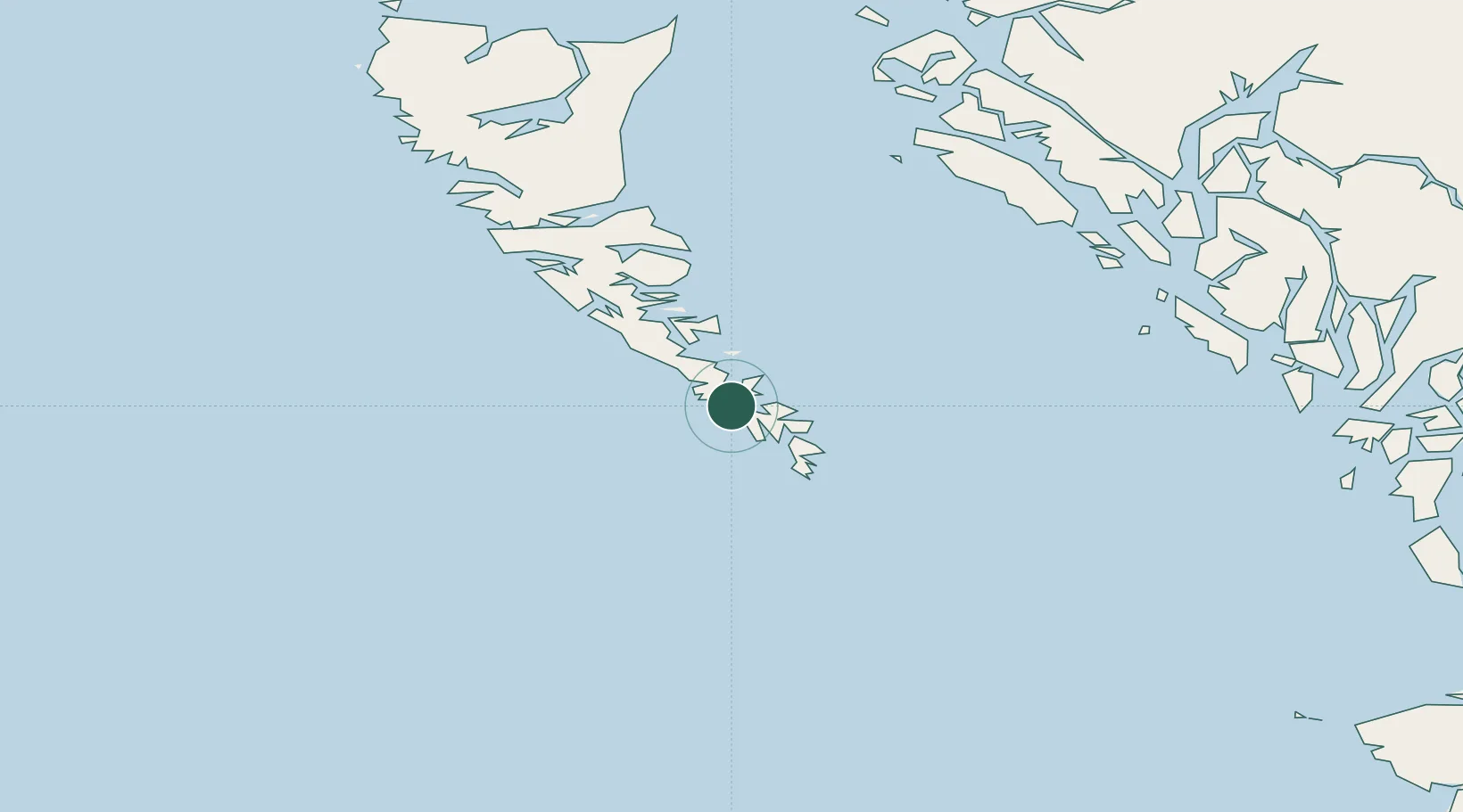
BC
Location
Nearby Logistics Neighbours
Cities
- 1Queen Charlotte115 km
- 2Falkenberg115 km
- 3Prince Rupert231 km
- 4Metlakatla315 km
- 5Coal Harbour325 km
Ports
- 1Queen Charlotte115 km
- 2Port Clements163 km
- 3Masset Harbor197 km
- 4Klemtu198 km
- 5Prince Rupert235 km
Airports
- 1Sandspit Airport110 km
- 2Masset Airport198 km
- 3Bella Bella (Campbell Island) Airport221 km
- 4Prince Rupert Airport230 km
- 5Annette Island Airport305 km
Trade Zones
- 1PrInce George Logistics Park604 km
- 2FTZ Vancouver Island674 km
- 3FTZ No. 128 Whatcom County735 km
- 4FTZ No. 129 Bellingham740 km
- 5FTZ No. 173 Grays Harbor763 km
DatabookThe Record of Consolidated Knowledge
Canada beyond logistics?