Transport Functions
Port
Multimodal
Hub Profile
Place type
Populated place
Region
Rheinland-Pfalz
Time zone
Europe/Berlin
Elevation
523 m
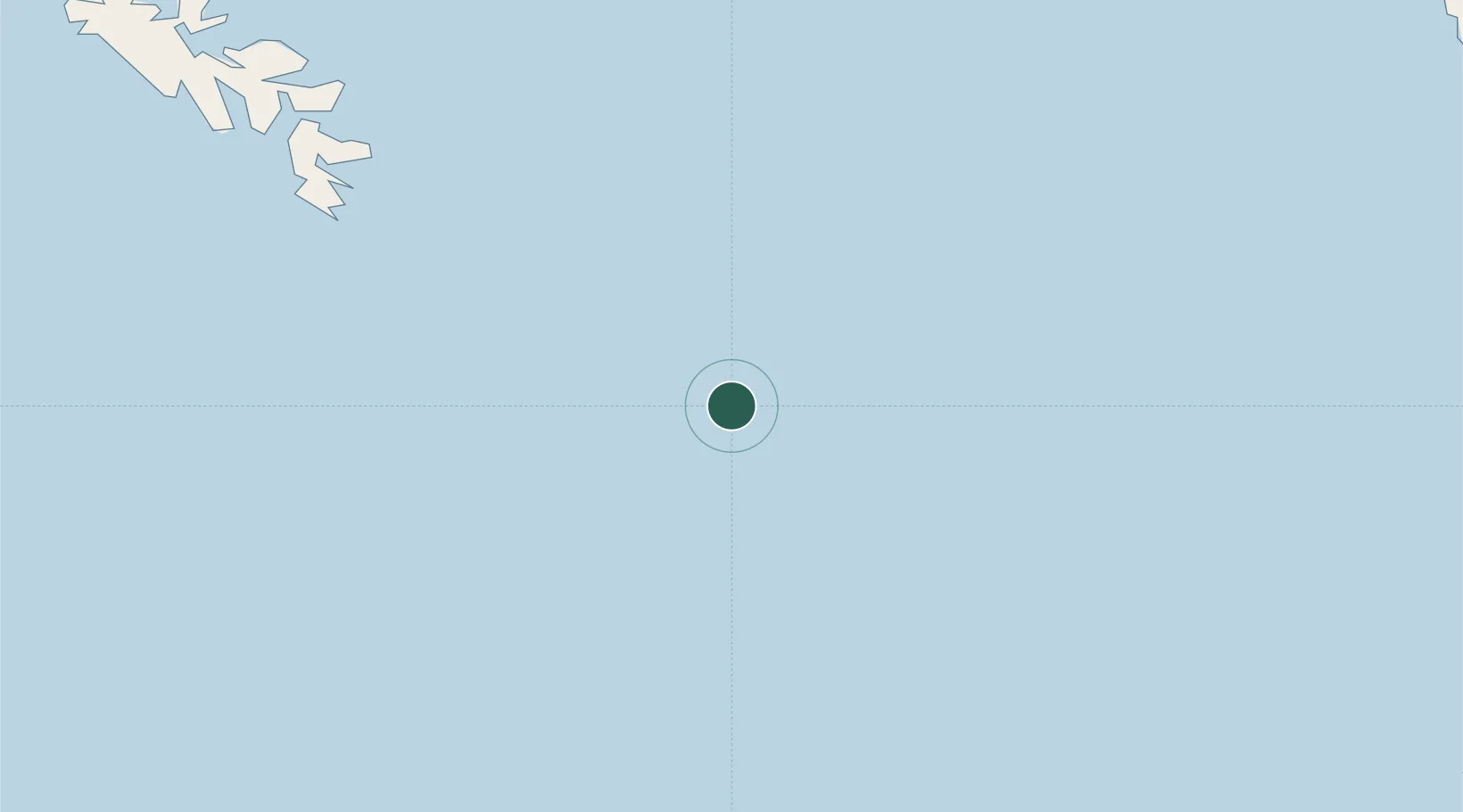
Location
Nearby Logistics Neighbours
Cities
- 1Harriet Harbour115 km
- 2Coal Harbour213 km
- 3Queen Charlotte225 km
- 4Port McNeill244 km
- 5Beaver Cove262 km
Ports
- 1Klemtu163 km
- 2Coal Harbor213 km
- 3Queen Charlotte226 km
- 4Port Alice234 km
- 5Port Mcneill245 km
Airports
- 1Bella Bella (Campbell Island) Airport157 km
- 2Sandspit Airport217 km
- 3Port Hardy Airport222 km
- 4Sullivan Bay Seaplane Base248 km
- 5Port McNeill Airport249 km
Trade Zones
- 1FTZ Vancouver Island565 km
- 2PrInce George Logistics Park566 km
- 3FTZ No. 128 Whatcom County625 km
- 4FTZ No. 129 Bellingham630 km
- 5FTZ No. 173 Grays Harbor648 km
DatabookThe Record of Consolidated Knowledge
Germany beyond logistics?