Medium airport · Canada
Masset AirportCZMT
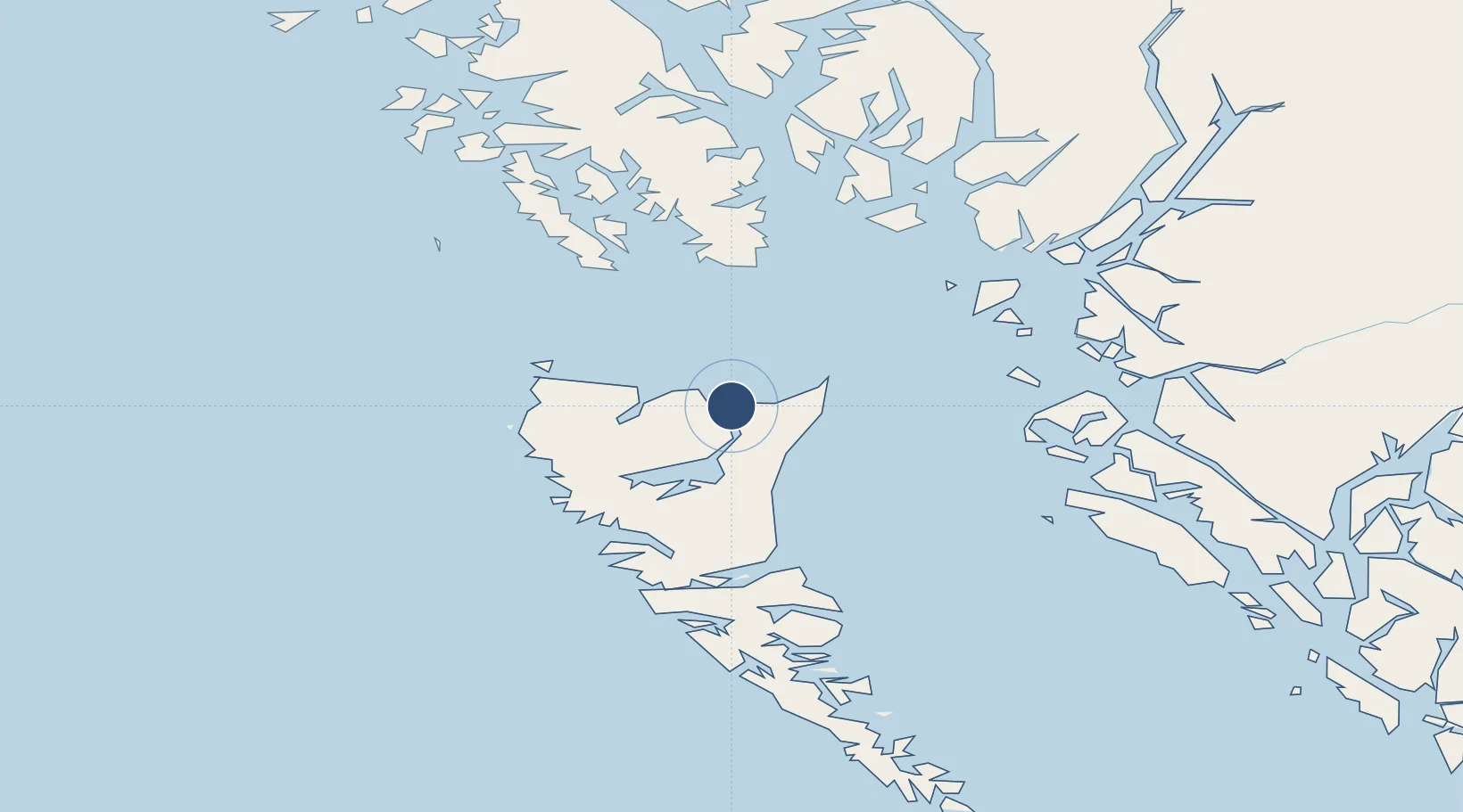
54.0275°, -132.1250°
5,000 ft
Longest runway
1
Runways
25 ft
Elevation
Runway & Layout

Radio Frequencies
UNIC
122.7 MHz
ATF/UNICOM
Navaids
1U NDB Masset 278 kHz
Runways · 1
| Runway | Dimensions | Surface | True heading | Lit |
|---|---|---|---|---|
| 13/31 | 5,000 × 100ft | Asphalt | 148° | ✓ |
Airport Specifications
IATA code
ZMT
ICAO code
CZMT
Airport class
Medium airport
Scheduled service
Yes
Runway surface
Asphalt
Served city
Masset
Location
Nearby Logistics Neighbours
Airports
- 1Sandspit Airport88 km
- 2Prince Rupert Airport113 km
- 3Annette Island Airport118 km
- 4Metlakatla Seaplane Base128 km
- 5Hydaburg Seaplane Base139 km
Cities
- 1Queen Charlotte87 km
- 2Prince Rupert119 km
- 3Metlakatla127 km
- 4Ketchikan150 km
- 5Ward Cove155 km
Ports
- 1Masset Harbor2 km
- 2Port Clements39 km
- 3Queen Charlotte87 km
- 4Prince Rupert121 km
- 5Port Simpson125 km
Trade Zones
- 1PrInce George Logistics Park613 km
- 2FTZ Vancouver Island817 km
- 3FTZ No. 128 Whatcom County880 km
- 4FTZ No. 129 Bellingham886 km
- 5FTZ No. 173 Grays Harbor939 km
DatabookThe Record of Consolidated Knowledge
Canada beyond logistics?