Channel & Berth Profile
Pilotage, Tugs & Services
Pilotage compulsoryYES
Tug assistanceYES
Shore powerYES
Potable waterYES
Diesel bunkersYES
MedicalYES
Facilities & Capabilities
Container—
Ro-Ro—
Liquid bulk—
Dry bulk—
Oil terminal—
Break bulk—
Dry dock—
RepairsNO
BunkeringYES
Rail linkYES
Dangerous cargo—
ISPS security—
Harbour Specifications
Harbour size
Small
Harbour type
Coastal (Natural)
Shelter
Fair
Water body
Alaska-Canada coastal waters; North Pacific Ocean
Tidal range
5 m
Pilotage
Yes
Liner Connectivity
15.8
PLSCI
Port Liner Shipping Connectivity Index for Kitimat, as published by UNCTAD for the latest available quarter. Higher values indicate stronger scheduled liner-shipping integration.
Shown relative to the highest per-port PLSCI in the dataset (1,657.9).
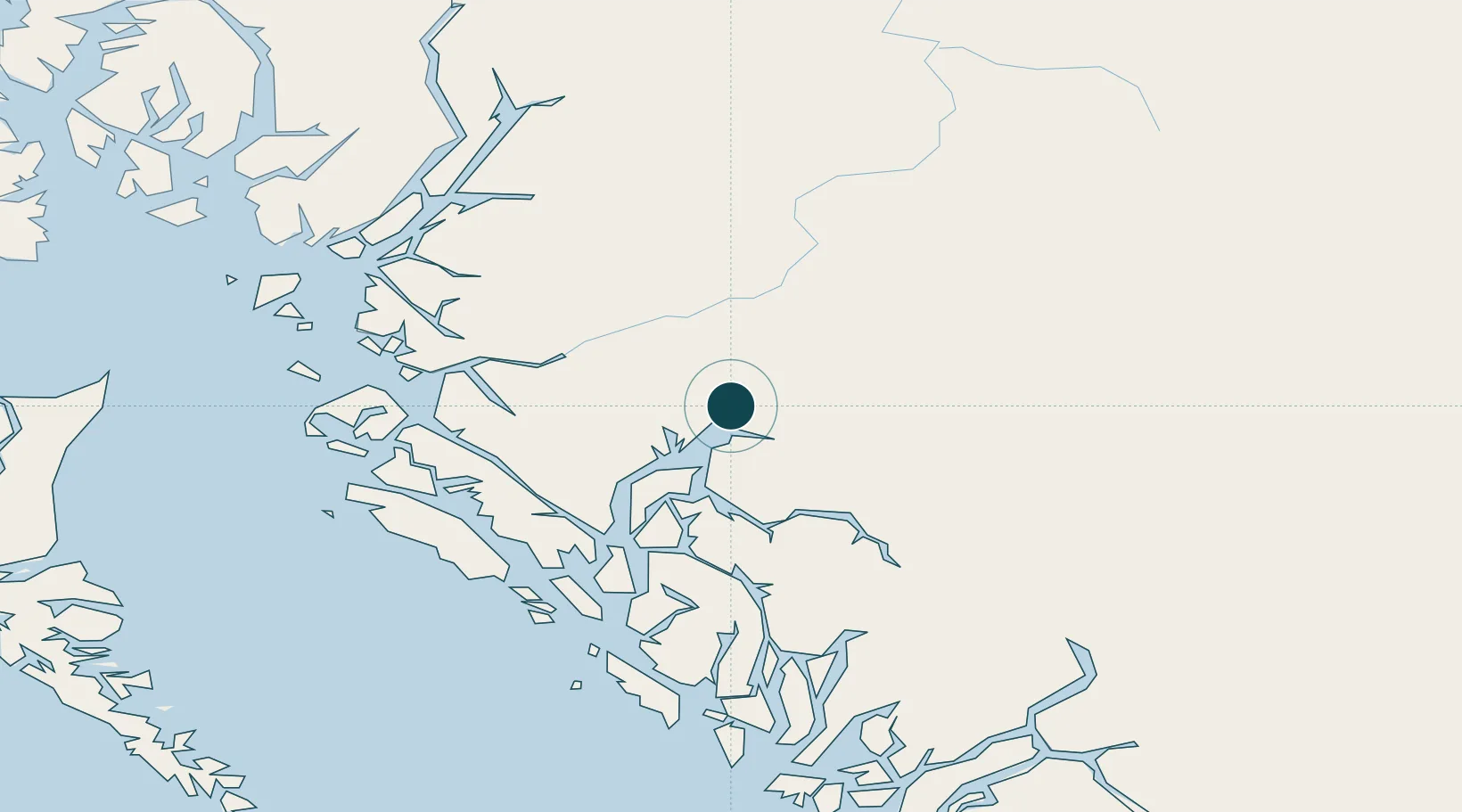
Location
Nearby Logistics Neighbours
Ports
- 1Prince Rupert113 km
- 2Port Simpson130 km
- 3Klemtu156 km
- 4Bella Coola221 km
- 5Metlakatla225 km
Cities
- 1Prince Rupert114 km
- 2Telkwa130 km
- 3Metlakatla224 km
- 4Queen Charlotte238 km
- 5Endako240 km
Airports
- 1Northwest Regional Airport Terrace-Kitimat53 km
- 2Prince Rupert Airport119 km
- 3Smithers Airport134 km
- 4Streatham Reef Hueston Airfield166 km
- 5Burns Lake Airport183 km
Trade Zones
- 1PrInce George Logistics Park388 km
- 2FTZ Vancouver Island653 km
- 3FTZ No. 128 Whatcom County716 km
- 4FTZ No. 129 Bellingham722 km
- 5FTZ No. 085 Everett805 km
DatabookThe Record of Consolidated Knowledge
Canada beyond logistics?