Medium airport · Canada
Northwest Regional Airport Terrace-KitimatCYXT
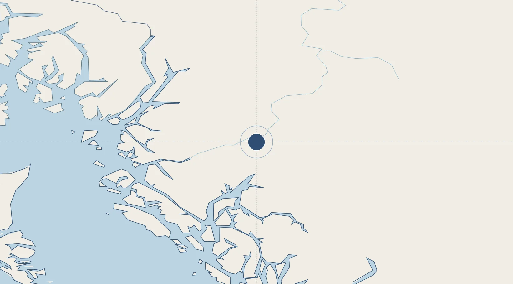
54.4685°, -128.5760°
7,497 ft
Longest runway
2
Runways
713 ft
Elevation
Runway & Layout

Radio Frequencies
A/G
122 MHz
MANDATORY FREQ RDO
CNTR
128.4 MHz
VANCOUVER CNTR
RCO
126.7 MHz
PACIFIC RDO
RDO
122 MHz
Navaids
TB NDB Skeena 254 kHz
XT NDB Terrace 332 kHz
ZKI NDB Kitimat 203 kHz
Runways · 2
| Runway | Dimensions | Surface | True heading | Lit |
|---|---|---|---|---|
| 15/33 | 7,497 × 150ft | Asphalt | 172° | ✓ |
| 03/21 | 5,373 × 150ft | Asphalt | 051° | — |
Airport Specifications
IATA code
YXT
ICAO code
CYXT
Airport class
Medium airport
Scheduled service
Yes
Runway surface
Asphalt
Served city
Terrace
Location
Nearby Logistics Neighbours
Airports
- 1Smithers Airport98 km
- 2Prince Rupert Airport123 km
- 3Burns Lake Airport170 km
- 4Streatham Reef Hueston Airfield172 km
- 5Hyder Seaplane Base184 km
Cities
- 1Telkwa101 km
- 2Prince Rupert117 km
- 3Metlakatla206 km
- 4Ketchikan221 km
- 5Ward Cove226 km
Ports
- 1Kitimat53 km
- 2Prince Rupert115 km
- 3Port Simpson120 km
- 4Hyder185 km
- 5Stewart186 km
Trade Zones
- 1PrInce George Logistics Park384 km
- 2FTZ Vancouver Island691 km
- 3FTZ No. 128 Whatcom County753 km
- 4FTZ No. 129 Bellingham760 km
- 5FTZ No. 085 Everett844 km
DatabookThe Record of Consolidated Knowledge
Canada beyond logistics?