Medium airport · Canada
Comox Valley International Airport / CFB ComoxCYQQ
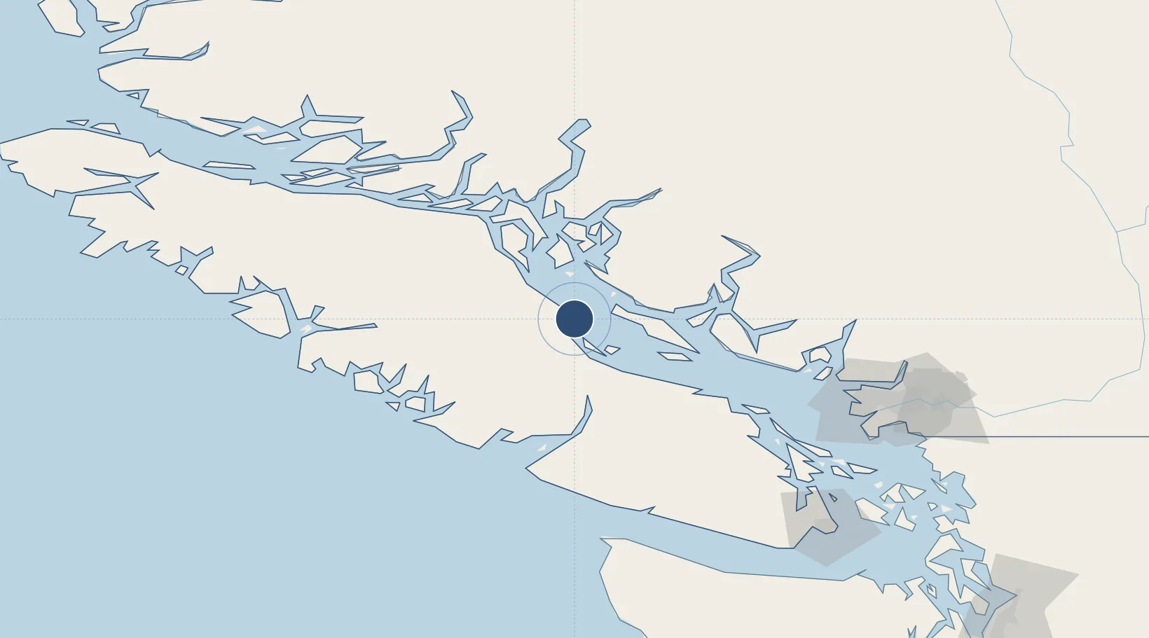
49.7108°, -124.8870°
10,000 ft
Longest runway
2
Runways
84 ft
Elevation
Runway & Layout

Radio Frequencies
ATIS
118.6 MHz
TWR
126.2 MHz
GND
119.75 MHz
APP
134.1 MHz
TRML
DEP
123.7 MHz
ARR
128.1 MHz
OPS
135.9 MHz
MIL OPS
PMSV
34.46 MHz
Navaids
QQ NDB Comox 400 kHz
UQQ TACAN Comox 110.40 MHz
Runways · 2
| Runway | Dimensions | Surface | True heading | Lit |
|---|---|---|---|---|
| 12/30 | 10,000 × 200ft | Asphalt / concrete | 135° | ✓ |
| 18/36 | 5,000 × 200ft | Asphalt | 203° | ✓ |
Airport Specifications
IATA code
YQQ
ICAO code
CYQQ
Airport class
Medium airport
Scheduled service
Yes
Runway surface
Asphalt / concrete
Served city
Comox
Location
Nearby Logistics Neighbours
Airports
Cities
- 1Denman Island19 km
- 2Campbell River43 km
- 3Lantzville77 km
- 4Nanaimo94 km
- 5Ucluelet98 km
Ports
- 1Comox Harbor5 km
- 2Duncan Bay49 km
- 3Port Alberni53 km
- 4Nanoose Harbor73 km
- 5Gold River89 km
Trade Zones
- 1FTZ Vancouver Island138 km
- 2FTZ No. 128 Whatcom County197 km
- 3FTZ No. 129 Bellingham202 km
- 4FTZ No. 085 Everett272 km
- 5FTZ No. 173 Grays Harbor286 km
DatabookThe Record of Consolidated Knowledge
Canada beyond logistics?