Runway & Layout

Airport Specifications
ICAO code
CCX6
Airport class
Seaplane base
Scheduled service
Yes
Served city
Comox
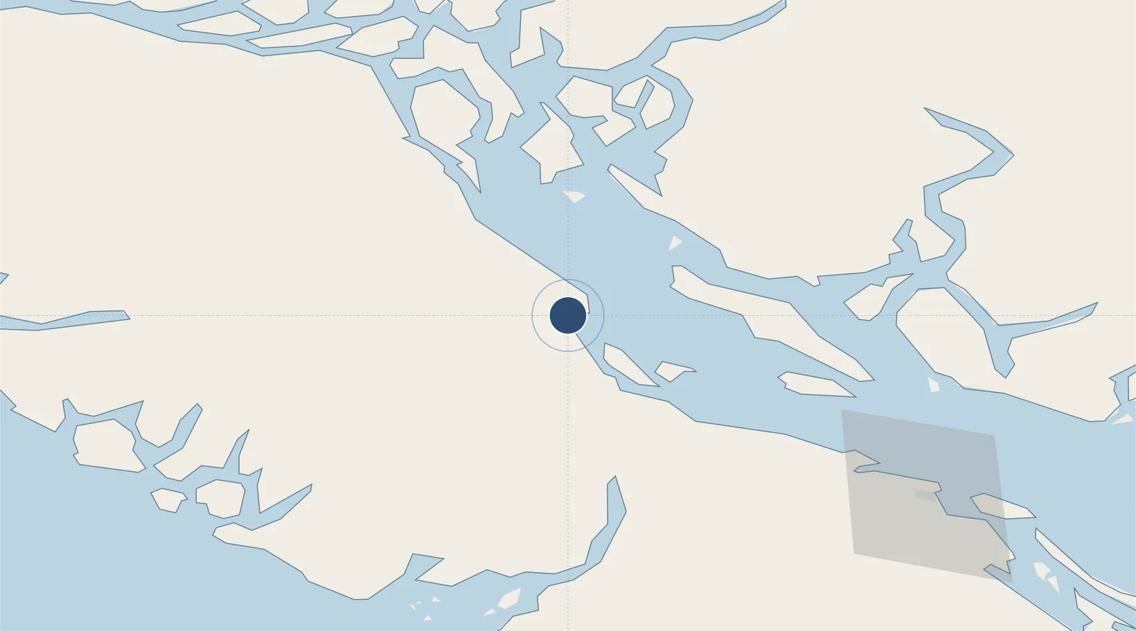
Location
Nearby Logistics Neighbours
Airports
Cities
- 1Denman Island17 km
- 2Campbell River45 km
- 3Lantzville77 km
- 4Ucluelet92 km
- 5Nanaimo94 km
Ports
- 1Comox Harbor1 km
- 2Port Alberni49 km
- 3Duncan Bay51 km
- 4Nanoose Harbor72 km
- 5Gold River85 km
Trade Zones
- 1FTZ Vancouver Island140 km
- 2FTZ No. 128 Whatcom County198 km
- 3FTZ No. 129 Bellingham202 km
- 4FTZ No. 085 Everett272 km
- 5FTZ No. 173 Grays Harbor282 km
DatabookThe Record of Consolidated Knowledge
Canada beyond logistics?