Charter City · Bahamas

Freeport Bahamas Active
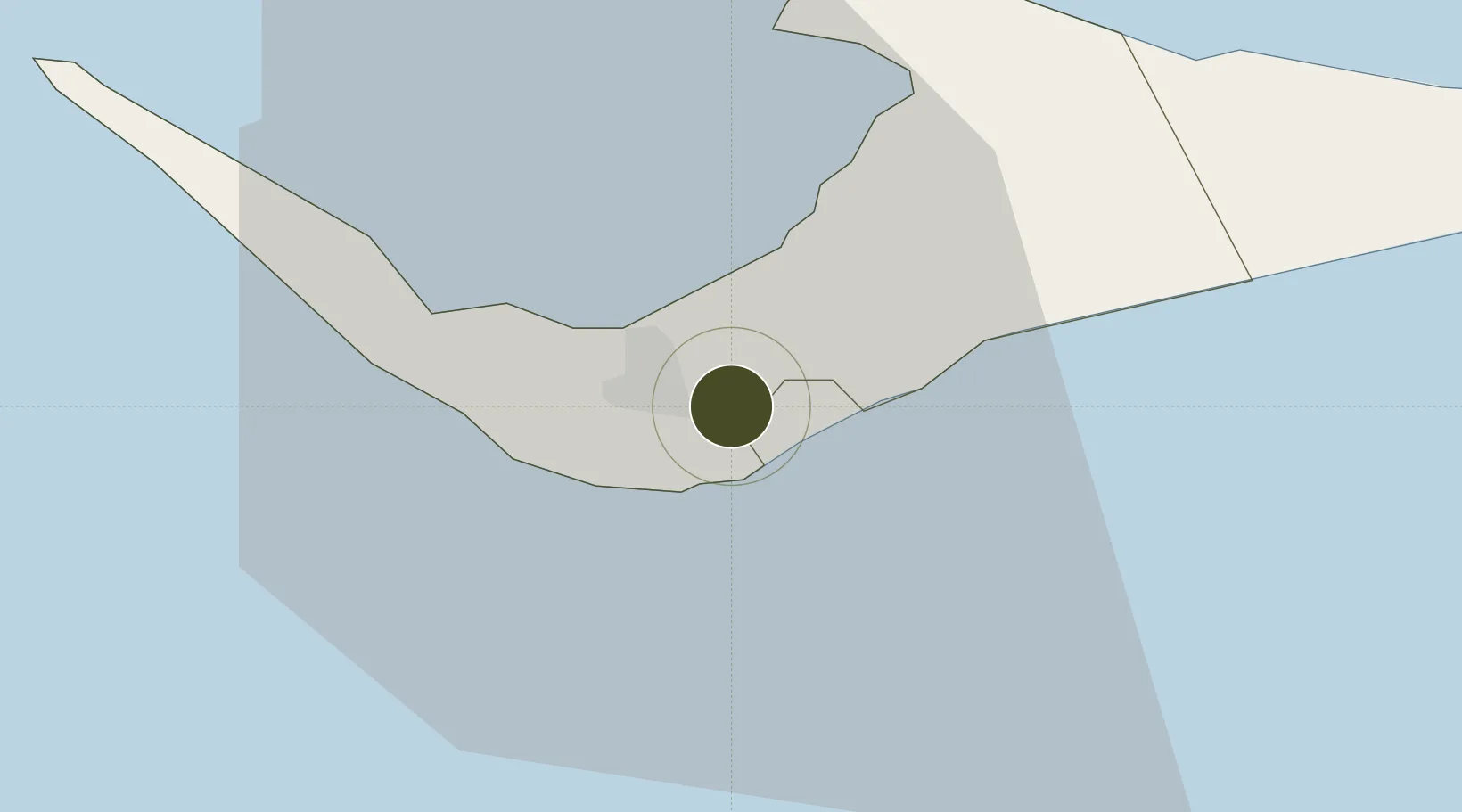
26.5333°, -78.6618°
56,000 ha
Zone area
12.2 km
Nearest port
4.3 km
Nearest airport

Gateway access

Nearest neighbours — logibook spatial index (haversine) over the source coordinates

Zone profile

Zone type
Charter City
Open Zone Map
Region
West Grand Bahama
Open Zone Map
Status
Active
Open Zone Map
Management
Public
Open Zone Map
Operator
The Grand Bahama Port Authority (GBPA)
Open Zone Map
Legal framework
Hawksbill Creek Agreement and Bahamas Free Trade Zone Act
Open Zone Map

Location

Location of ozm-73
Natural Earth 10m (public domain) · West Grand Bahama · ozm-73 · 26.53, -78.66GoogleOSMYandex

Nearby Logistics Neighbours

Ports
  1. 1Freeport12 km
  2. 2South Riding Point45 km
  3. 3Palm Beach140 km
  4. 4Port Everglades153 km
  5. 5Miami173 km
Nearest neighbours — logibook spatial index (haversine) over the source coordinates
Airports
  1. 1Grand Bahama International Airport4 km
  2. 2Bimini North Seaplane Base104 km
  3. 3South Bimini Airport111 km
  4. 4Great Harbour Cay Airport121 km
  5. 5Treasure Cay Airport129 km
Nearest neighbours — logibook spatial index (haversine) over the source coordinates
Cities
  1. 1Lucaya3 km
  2. 2Freeport, Grand Bahama6 km
  3. 3West End35 km
  4. 4Little Stirrup Cay108 km
  5. 5Great Stirrup Cay109 km
Nearest neighbours — logibook spatial index (haversine) over the source coordinates
Trade Zones
  1. 1Grand Bahama International Airport4 km
  2. 2FTZ No. 135 Palm Beach County141 km
  3. 3FTZ No. 025 Broward County154 km
  4. 4FTZ No. 241 Fort Lauderdale155 km
  5. 5FTZ No. 180 Miami (Wynwood)174 km
Nearest neighbours — logibook spatial index (haversine) over the source coordinates
DatabookThe Record of Consolidated Knowledge
Bahamas beyond logistics?
Browse databook

All Sources

Trade ZonesOpen Zone Map
CC BY
Portsthe NGA World Port Index
Public domain (US gov)
AirportsOurAirports
Public domain
LocationsUN/LOCODE
UN/LOCODE — free
← Bahamas trade zones