UN/LOCODE hub · Bahamas
BSFPO
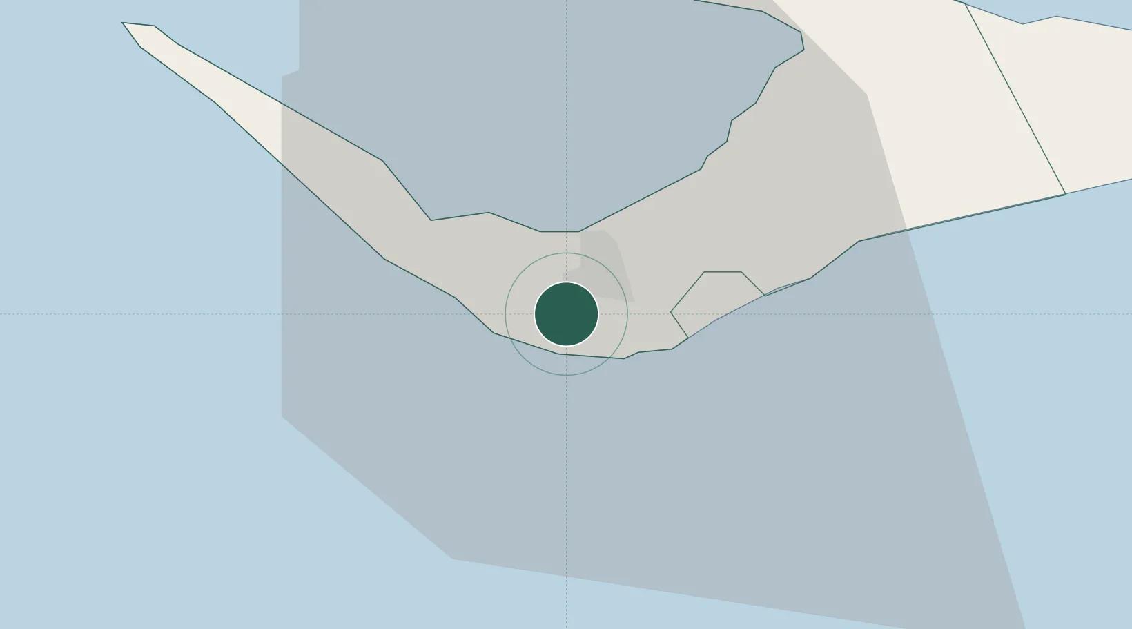
Freeport, Grand Bahama
26.5198°, -78.7217°
2
Transport functions
1
Container terminals
Transport Functions
Port
Airport
Hub Profile
Logistics facilities
4
Container terminals
1
Location
Nearby Logistics Neighbours
Cities
- 1Lucaya9 km
- 2West End30 km
- 3Little Stirrup Cay111 km
- 4Great Stirrup Cay112 km
- 5Great Harbour Cay123 km
Ports
- 1South Riding Point51 km
- 2Palm Beach135 km
- 3Port Everglades147 km
- 4Miami167 km
- 5Fort Pierce190 km
Airports
- 1Grand Bahama International Airport5 km
- 2Bimini North Seaplane Base99 km
- 3South Bimini Airport106 km
- 4Great Harbour Cay Airport124 km
- 5Treasure Cay Airport135 km
Trade Zones
DatabookThe Record of Consolidated Knowledge
Bahamas beyond logistics?