Free Trade Zone · Bahamas
Grand Bahama International Airport Active
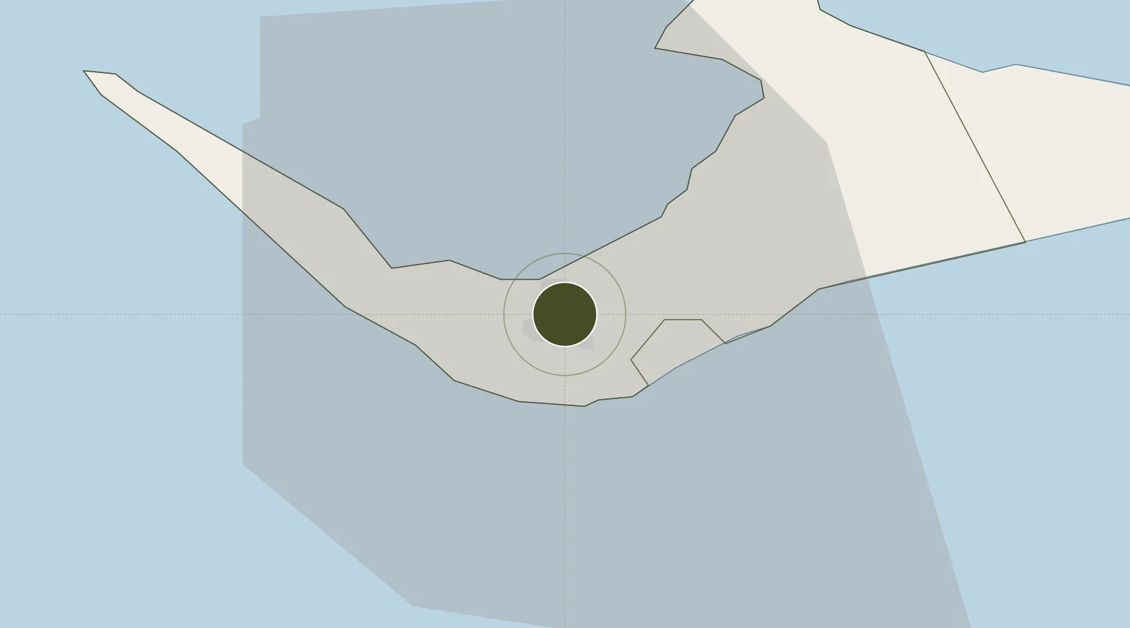
26.5492°, -78.6981°
300 ha
Zone area
9.2 km
Nearest port
1.0 km
Nearest airport
Gateway access
Zone profile
Zone type
Free Trade Zone
Region
West Grand Bahama
Status
Active
Management
Private
Operator
Grand Bahama Port Authority
Legal framework
Hawksbill Creek Agreement and Bahamas Free Trade Zone Act
Location
Nearby Logistics Neighbours
Ports
- 1Freeport9 km
- 2South Riding Point49 km
- 3Palm Beach137 km
- 4Port Everglades150 km
- 5Miami171 km
Airports
- 1Grand Bahama International Airport1 km
- 2Bimini North Seaplane Base103 km
- 3South Bimini Airport110 km
- 4Great Harbour Cay Airport124 km
- 5Treasure Cay Airport132 km
Cities
- 1Freeport, Grand Bahama4 km
- 2Lucaya7 km
- 3West End31 km
- 4Little Stirrup Cay112 km
- 5Great Stirrup Cay113 km
Trade Zones
- 1Freeport Bahamas4 km
- 2FTZ No. 135 Palm Beach County137 km
- 3FTZ No. 025 Broward County152 km
- 4FTZ No. 241 Fort Lauderdale152 km
- 5FTZ No. 180 Miami (Wynwood)172 km
DatabookThe Record of Consolidated Knowledge
Bahamas beyond logistics?