Medium airport · Bahamas

South Bimini AirportMYBS
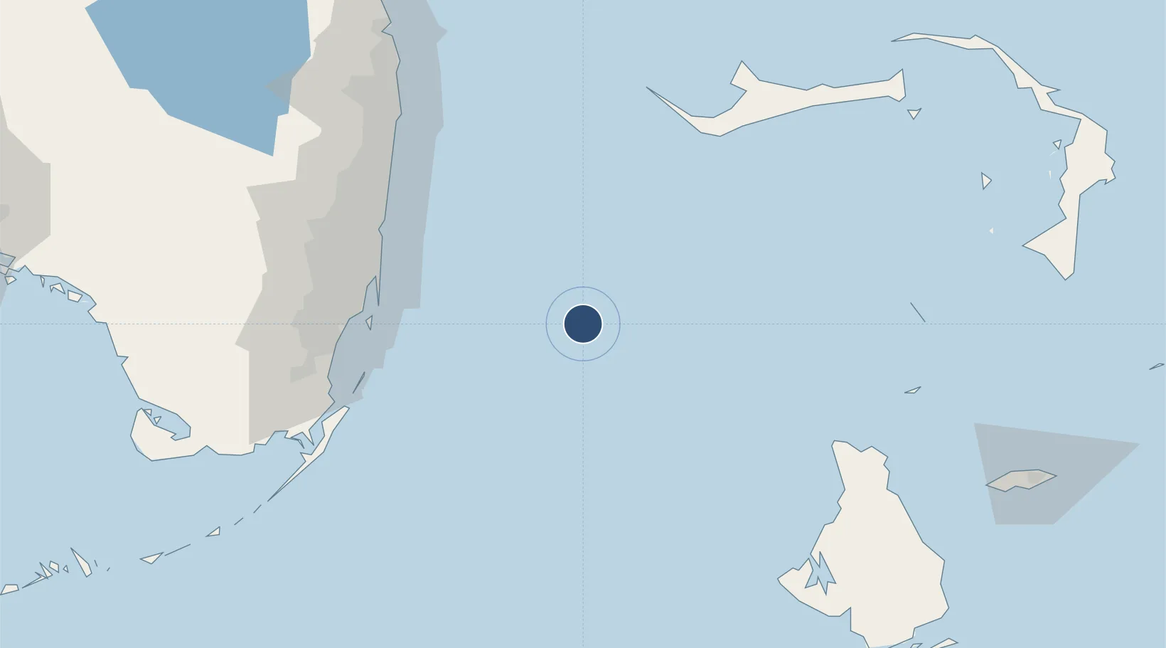
25.6999°, -79.2647°
5,409 ft
Longest runway
1
Runways
10 ft
Elevation

Runway & Layout

South Bimini Airport runway & taxiway layout
Runway & taxiway layout — OpenStreetMap (ODbL) / OurAirports

Radio Frequencies

RDO
124.2 MHz
NASSAU RDO
UNIC
122.8 MHz
UNICOM
OurAirports

Navaids

ZBV VORTAC Bimini 116.70 MHz
OurAirports

Runways · 1

RunwayDimensions SurfaceTrue headingLit
09/27 5,409 × 100ft Asphalt 090°
OurAirports

Airport Specifications

IATA code
BIM
OurAirports
ICAO code
MYBS
OurAirports
Airport class
Medium airport
OurAirports
Scheduled service
Yes
OurAirports
Runway surface
Asphalt
OurAirports
Served city
South Bimini
OurAirports

Location

Location of MYBS
Natural Earth 10m (public domain) · Bimini · MYBS · 25.70, -79.26GoogleOSMYandex

Nearby Logistics Neighbours

Airports
  1. 1Bimini North Seaplane Base8 km
  2. 2Fort Lauderdale Hollywood International Airport98 km
  3. 3Miami International Airport103 km
  4. 4North Perry Airport103 km
  5. 5Miami-Opa Locka Executive Airport104 km
Nearest neighbours — logibook spatial index (haversine) over the source coordinates
Cities
  1. 1Fisher Island, Miami87 km
  2. 2Miami Beach88 km
  3. 3Bal Harbour88 km
  4. 4Bay Harbor Islands89 km
  5. 5North Bay Village90 km
Nearest neighbours — logibook spatial index (haversine) over the source coordinates
Ports
  1. 1Miami93 km
  2. 2Port Everglades96 km
  3. 3Freeport103 km
  4. 4Palm Beach142 km
  5. 5South Riding Point146 km
Nearest neighbours — logibook spatial index (haversine) over the source coordinates
Trade Zones
  1. 1FTZ No. 180 Miami (Wynwood)95 km
  2. 2FTZ No. 025 Broward County96 km
  3. 3FTZ No. 032 Miami105 km
  4. 4FTZ No. 241 Fort Lauderdale107 km
  5. 5Grand Bahama International Airport110 km
Nearest neighbours — logibook spatial index (haversine) over the source coordinates
DatabookThe Record of Consolidated Knowledge
Bahamas beyond logistics?
Browse databook

All Sources

AirportsOurAirports
Public domain
Portsthe NGA World Port Index
Public domain (US gov)
LocationsUN/LOCODE
UN/LOCODE — free
Trade Zonesthe World Bank SEZ database
CC BY 4.0
Trade ZonesOpen Zone Map
CC BY
InfrastructureOpenStreetMap
ODbL 1.0
← Bahamas airports