UN/LOCODE hub · Bahamas
BSGSC

Great Stirrup Cay

25.8333°, -77.9000°
1
Transport functions

Transport Functions

Port
UN/LOCODE

Hub Profile

Region
BY
GeoNames

Location

Location of BSGSC
Natural Earth 10m (public domain) · BY · BSGSC · 25.83, -77.90GoogleOSMYandex

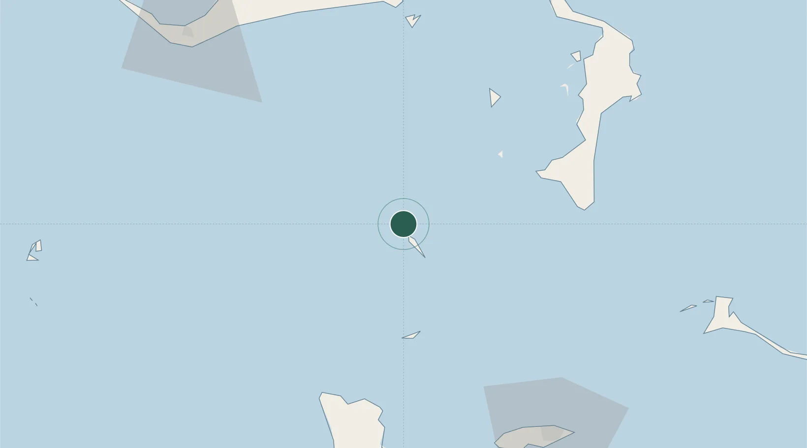
Nearby Logistics Neighbours

Cities
  1. 1Little Stirrup Cay4 km
  2. 2Great Harbour Cay11 km
  3. 3Gorda Cay46 km
  4. 4Nassau71 km
  5. 5San Andros87 km
Nearest neighbours — logibook spatial index (haversine) over the source coordinates
Ports
  1. 1South Riding Point93 km
  2. 2Clifton Pier99 km
  3. 3Nassau100 km
  4. 4Freeport116 km
  5. 5Port Everglades224 km
Nearest neighbours — logibook spatial index (haversine) over the source coordinates
Airports
  1. 1Great Harbour Cay Airport12 km
  2. 2Chub Cay Airport46 km
  3. 3San Andros Airport88 km
  4. 4Lynden Pindling International Airport99 km
  5. 5Leonard M. Thompson International Airport111 km
Nearest neighbours — logibook spatial index (haversine) over the source coordinates
Trade Zones
  1. 1Freeport Bahamas109 km
  2. 2Grand Bahama International Airport113 km
  3. 3FTZ No. 025 Broward County224 km
  4. 4FTZ No. 241 Fort Lauderdale231 km
  5. 5FTZ No. 180 Miami (Wynwood)231 km
Nearest neighbours — logibook spatial index (haversine) over the source coordinates
DatabookThe Record of Consolidated Knowledge
Bahamas beyond logistics?
Browse databook

All Sources

LocationsUN/LOCODE
UN/LOCODE — free
Portsthe NGA World Port Index
Public domain (US gov)
AirportsOurAirports
Public domain
Trade Zonesthe World Bank SEZ database
CC BY 4.0
Trade ZonesOpen Zone Map
CC BY
← Bahamas locations