UN/LOCODE hub · Bahamas
BSCOC

Little Stirrup Cay

25.8167°, -77.9333°
1
Transport functions

Transport Functions

Port
UN/LOCODE

Hub Profile

Region
BY
GeoNames

Location

Location of BSCOC
Natural Earth 10m (public domain) · BY · BSCOC · 25.82, -77.93GoogleOSMYandex

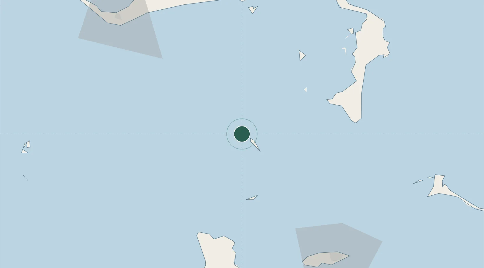
Nearby Logistics Neighbours

Cities
  1. 1Great Stirrup Cay4 km
  2. 2Great Harbour Cay13 km
  3. 3Gorda Cay50 km
  4. 4Nassau74 km
  5. 5San Andros84 km
Nearest neighbours — logibook spatial index (haversine) over the source coordinates
Ports
  1. 1South Riding Point93 km
  2. 2Clifton Pier99 km
  3. 3Nassau100 km
  4. 4Freeport115 km
  5. 5Port Everglades221 km
Nearest neighbours — logibook spatial index (haversine) over the source coordinates
Airports
  1. 1Great Harbour Cay Airport13 km
  2. 2Chub Cay Airport45 km
  3. 3San Andros Airport86 km
  4. 4Lynden Pindling International Airport98 km
  5. 5Grand Bahama International Airport112 km
Nearest neighbours — logibook spatial index (haversine) over the source coordinates
Trade Zones
  1. 1Freeport Bahamas108 km
  2. 2Grand Bahama International Airport112 km
  3. 3FTZ No. 025 Broward County221 km
  4. 4FTZ No. 180 Miami (Wynwood)228 km
  5. 5FTZ No. 241 Fort Lauderdale228 km
Nearest neighbours — logibook spatial index (haversine) over the source coordinates
DatabookThe Record of Consolidated Knowledge
Bahamas beyond logistics?
Browse databook

All Sources

LocationsUN/LOCODE
UN/LOCODE — free
Portsthe NGA World Port Index
Public domain (US gov)
AirportsOurAirports
Public domain
Trade Zonesthe World Bank SEZ database
CC BY 4.0
Trade ZonesOpen Zone Map
CC BY
← Bahamas locations