UN/LOCODE hub · Bahamas
BSGHC

Great Harbour Cay

25.7500°, -77.8333°
2
Transport functions

Transport Functions

Port
Airport
UN/LOCODE

Hub Profile

Region
BY
GeoNames

Location

Location of BSGHC
Natural Earth 10m (public domain) · BY · BSGHC · 25.75, -77.83GoogleOSMYandex

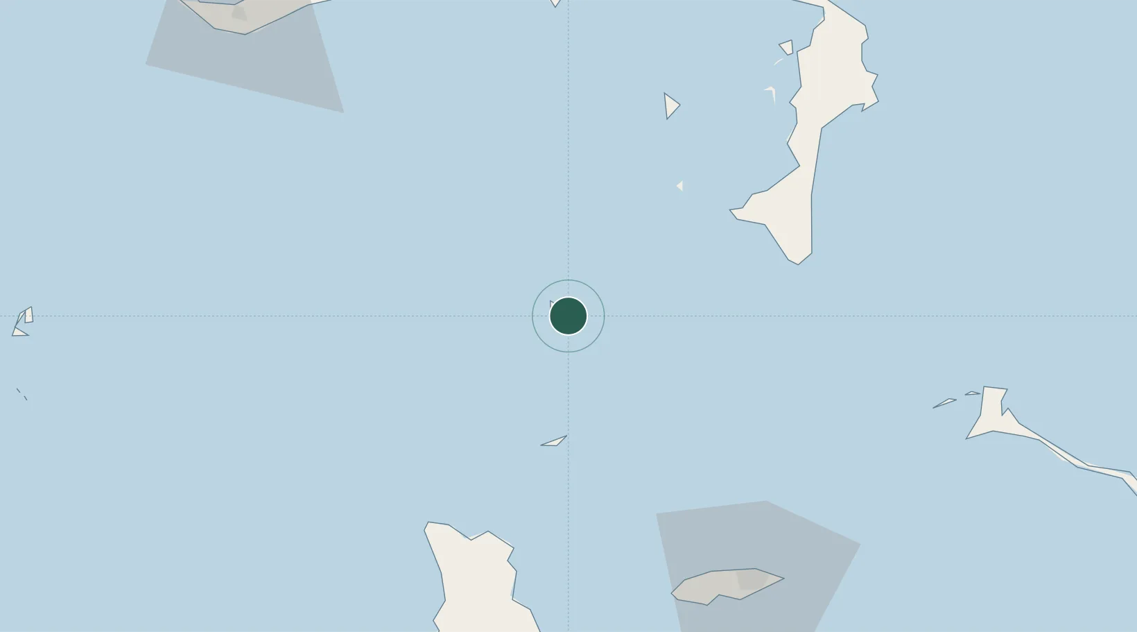
Nearby Logistics Neighbours

Cities
  1. 1Great Stirrup Cay11 km
  2. 2Little Stirrup Cay13 km
  3. 3Gorda Cay48 km
  4. 4Nassau62 km
  5. 5San Andros79 km
Nearest neighbours — logibook spatial index (haversine) over the source coordinates
Ports
  1. 1Clifton Pier88 km
  2. 2Nassau89 km
  3. 3South Riding Point104 km
  4. 4Freeport128 km
  5. 5Port Everglades232 km
Nearest neighbours — logibook spatial index (haversine) over the source coordinates
Airports
  1. 1Great Harbour Cay Airport2 km
  2. 2Chub Cay Airport37 km
  3. 3San Andros Airport80 km
  4. 4Lynden Pindling International Airport87 km
  5. 5Leonard M. Thompson International Airport113 km
Nearest neighbours — logibook spatial index (haversine) over the source coordinates
Trade Zones
  1. 1Freeport Bahamas120 km
  2. 2Grand Bahama International Airport124 km
  3. 3FTZ No. 025 Broward County232 km
  4. 4FTZ No. 180 Miami (Wynwood)238 km
  5. 5FTZ No. 241 Fort Lauderdale239 km
Nearest neighbours — logibook spatial index (haversine) over the source coordinates
DatabookThe Record of Consolidated Knowledge
Bahamas beyond logistics?
Browse databook

All Sources

LocationsUN/LOCODE
UN/LOCODE — free
Portsthe NGA World Port Index
Public domain (US gov)
AirportsOurAirports
Public domain
Trade Zonesthe World Bank SEZ database
CC BY 4.0
Trade ZonesOpen Zone Map
CC BY
← Bahamas locations