Seaplane base · Bahamas

Bimini North Seaplane BaseBS-NSB

25.7670°, -79.2500°

Runway & Layout

Bimini North Seaplane Base runway & taxiway layout
Runway & taxiway layout — OpenStreetMap (ODbL) / OurAirports

Airport Specifications
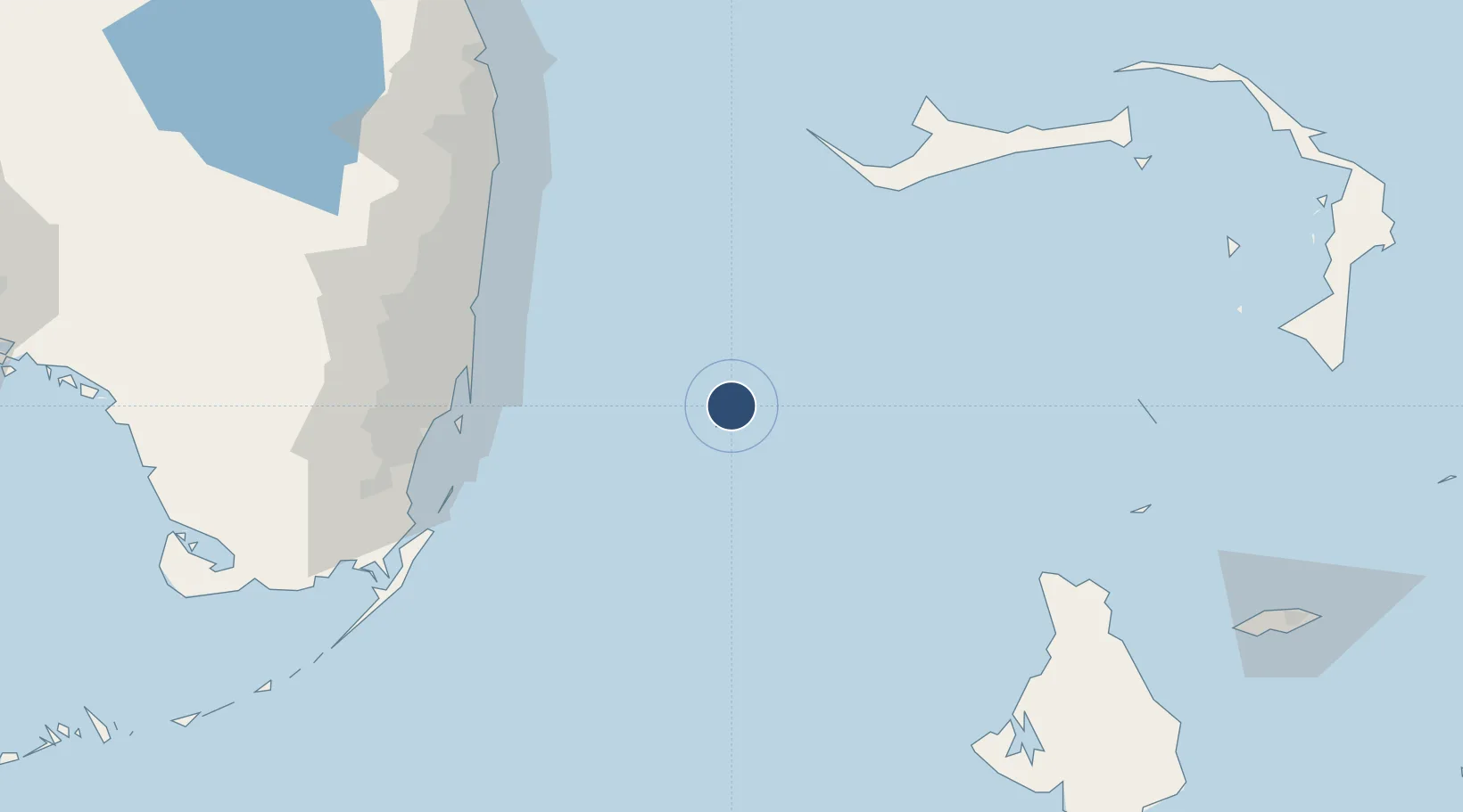
IATA code
NSB
OurAirports
Airport class
Seaplane base
OurAirports
Scheduled service
Yes
OurAirports
Served city
Bimini
OurAirports

Location

Location of BS-NSB
Natural Earth 10m (public domain) · Bimini · BS-NSB · 25.77, -79.25GoogleOSMYandex

Nearby Logistics Neighbours

Airports
  1. 1South Bimini Airport8 km
  2. 2Fort Lauderdale Hollywood International Airport97 km
  3. 3North Perry Airport103 km
  4. 4Fort Lauderdale Executive Airport104 km
  5. 5Grand Bahama International Airport104 km
Nearest neighbours — logibook spatial index (haversine) over the source coordinates
Cities
  1. 1Bal Harbour88 km
  2. 2Fisher Island, Miami89 km
  3. 3Miami Beach89 km
  4. 4Bay Harbor Islands89 km
  5. 5North Bay Village90 km
Nearest neighbours — logibook spatial index (haversine) over the source coordinates
Ports
  1. 1Miami94 km
  2. 2Port Everglades94 km
  3. 3Freeport96 km
  4. 4Palm Beach137 km
  5. 5South Riding Point140 km
Nearest neighbours — logibook spatial index (haversine) over the source coordinates
Trade Zones
  1. 1FTZ No. 025 Broward County94 km
  2. 2FTZ No. 180 Miami (Wynwood)96 km
  3. 3Grand Bahama International Airport103 km
  4. 4Freeport Bahamas104 km
  5. 5FTZ No. 241 Fort Lauderdale104 km
Nearest neighbours — logibook spatial index (haversine) over the source coordinates
DatabookThe Record of Consolidated Knowledge
Bahamas beyond logistics?
Browse databook

All Sources

AirportsOurAirports
Public domain
Portsthe NGA World Port Index
Public domain (US gov)
LocationsUN/LOCODE
UN/LOCODE — free
Trade Zonesthe World Bank SEZ database
CC BY 4.0
Trade ZonesOpen Zone Map
CC BY
InfrastructureOpenStreetMap
ODbL 1.0
← Bahamas airports