Transport Functions
Port
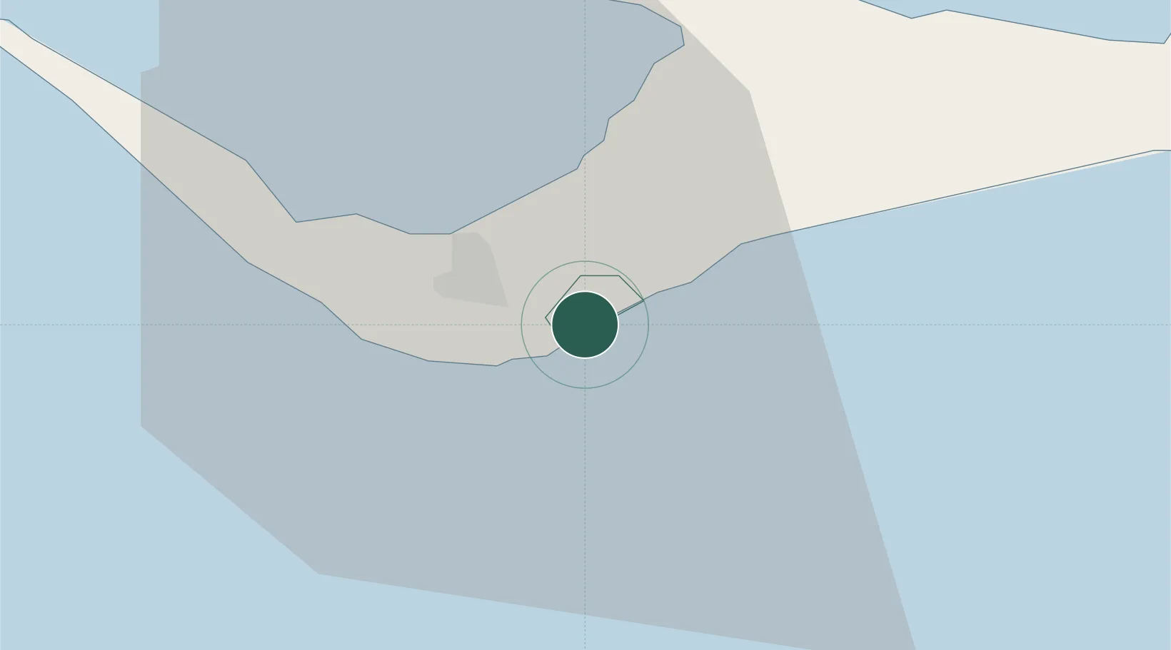
Hub Profile
Place type
Populated place
Region
Freeport
Population
46,525
Time zone
America/Nassau
Elevation
7 m
Location
Nearby Logistics Neighbours
Cities
- 1Freeport, Grand Bahama9 km
- 2West End38 km
- 3Little Stirrup Cay105 km
- 4Great Stirrup Cay106 km
- 5Great Harbour Cay117 km
Ports
- 1Freeport15 km
- 2South Riding Point43 km
- 3Palm Beach144 km
- 4Port Everglades155 km
- 5Miami175 km
Airports
- 1Grand Bahama International Airport8 km
- 2Bimini North Seaplane Base104 km
- 3South Bimini Airport111 km
- 4Great Harbour Cay Airport117 km
- 5Treasure Cay Airport126 km
Trade Zones
DatabookThe Record of Consolidated Knowledge
Bahamas beyond logistics?