Country infrastructure map
Natural Earth · boundaries do not imply endorsement
Databook
The Record of Consolidated Knowledge
Bahamas beyond logistics?
PopulationEconomyGovernanceParliamentHealthEducationLabourInfrastructureEnvironment & EnergyDefenseGeographyIdentityComplianceSpaceTimeline
Browse databook
Flag of Bahamas
Logistics profile

Bahamas

BS · BHS Latin America and the Caribbean High income
COMMONWEALTHIMFLATAMUNWCO

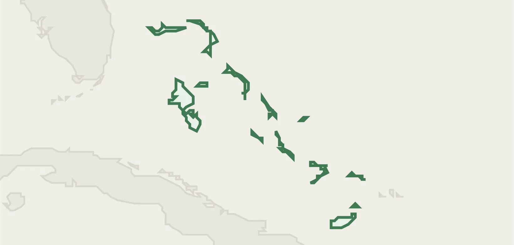
Bahamas (BHS) maps 5 seaports from the NGA World Port Index, 29 airports, and 22 UN/LOCODE transport hubs — each figure traced to a named public registry (NGA, OurAirports, UNECE).

Explore the country's ports, airports, hubs and trade zones below, each cross-linked to its sourced entity record, or open the same nation on databook for its wider reference profile.

5
Ports
29
Airports
22
Locations
2
Trade Zones
2
Airlines

Transport Network & Freight

Rail network

the World Bank's World Development Indicators (2026-04) records no rail-network figures for Bahamas.

Container throughput
1,724,000TEU
World Bank WDI · 2022
Air freight
18.6M ton-km
World Bank WDI · 2023
Maritime territory (EEZ)
619,785km²
Marine Regions
Logistics sites
32
OpenStreetMap
See all logistics infrastructure for Bahamas

Trade & Compliance

International Cargo Treaties
Total: 4
Convention on the International Maritime Organization Party · 1976
Agreement relating to the implementation of Part XI of… Party · 1994
Agreement under the United Nations Convention on the Law… Party · 2025
Agreement for the Implementation of the Provisions of the… Party · 1997
UN Treaty Collection
Trade Flow
Top export market USA
Top import source USA
Lead export good Mineral fuels & oils
Lead import good Mineral fuels & oils
Shares of total trade · latest 2024 · 2022
CEPII BACI
Preferential Trade
Total: 3
  • FTA & EIA United Kingdom - CARIFORUM States
  • FTA & EIA EU - CARIFORUM States
  • CU & EIA Caribbean Community and Common Market (CARICOM)
World Bank DTA
Fiscal & Tariffs
  • CurrencyBSD Bahamian Dollar
  • MFN applied tariff31.5% avg · 2022
ISO 4217 · World Bank WDI
Commodity Profile
  • Agriculture (49) Sugar cane 64k t · 2024
  • Minerals (1) salt 701k t · 2023
FAOSTAT · BGS · EIA
Trade Controls

the UN Security Council Consolidated List (2026-04) records no trade-control entries for Bahamas.

UN · EU
See all trade & compliance details for Bahamas

Logistics Infrastructure

All Sources

commoditythe British Geological Surveythe British Geological Survey
OGL
TradeCEPII (BACI)CEPII (BACI)
Etalab 2.0
Referencelogibook trade-bloc referencelogibook trade-bloc reference
Compiled (public facts)
commoditythe U.S. Energy Information Administrationthe U.S. Energy Information Administration
Public domain (US gov)
commodityFAOSTATFAOSTAT
CC BY 4.0 IGO
InfrastructureGRIP4 Global Roads (PBL)GRIP4 Global Roads (PBL)
CC0
AirlinesIATA / OpenFlights airline codesIATA / OpenFlights airline codes
Factual code list
Referenceinternational organisation membership recordsinternational organisation membership records
Public (official lists)
fiscalISO 4217ISO 4217
Factual code list
LocationsUN/LOCODEUN/LOCODE
UN/LOCODE — free
InfrastructureMarine RegionsMarine Regions
CC BY 4.0
Trade ZonesOpen Zone MapOpen Zone Map
CC BY
InfrastructureOpenStreetMapOpenStreetMap
ODbL 1.0
AirportsOurAirportsOurAirports
Public domain
Portsthe SMDG Terminal Code Listthe SMDG Terminal Code List
UN/LOCODE — free, attribution
Sanctions & compliancethe UN Treaty Collectionthe UN Treaty Collection
UN — open
Logistics performanceUNCTADUNCTAD
CC BY 3.0 IGO
Tradethe World Bank's Deep Trade Agreements databasethe World Bank's Deep Trade Agreements database
CC BY 4.0
Infrastructurethe World Bank's World Development Indicatorsthe World Bank's World Development Indicators
CC BY 4.0
Portsthe NGA World Port Indexthe NGA World Port Index
Public domain (US gov)