Large airport · Bahamas

Grand Bahama International AirportMYGF
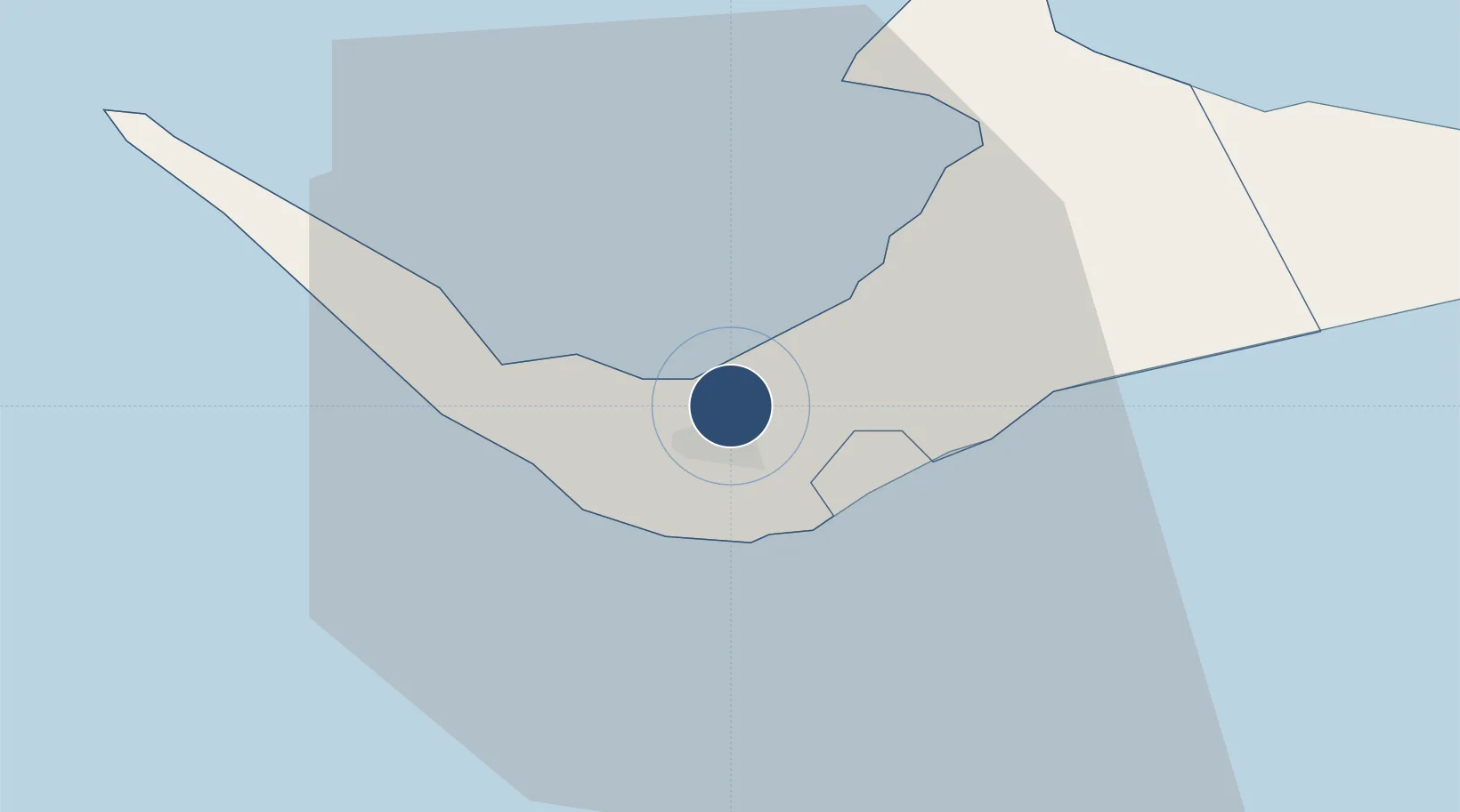
26.5580°, -78.6956°
11,019 ft
Longest runway
1
Runways
7 ft
Elevation

Runway & Layout

Grand Bahama International Airport runway & taxiway layout
Runway & taxiway layout — OpenStreetMap (ODbL) / OurAirports

Radio Frequencies

TWR
118.5 MHz
GND
121.7 MHz
APP
126.5 MHz
OurAirports

Navaids

ZFP VOR-DME Freeport 113.20 MHz
ZFP NDB Freeport 209 kHz
OurAirports

Runways · 1

RunwayDimensions SurfaceTrue headingLit
06/24 11,019 × 151ft Asphalt 061°
OurAirports

Airport Specifications

IATA code
FPO
OurAirports
ICAO code
MYGF
OurAirports
Airport class
Large airport
OurAirports
Scheduled service
Yes
OurAirports
Runway surface
Asphalt
OurAirports
Served city
Freeport
OurAirports

Location

Location of MYGF
Natural Earth 10m (public domain) · West Grand Bahama · MYGF · 26.56, -78.70GoogleOSMYandex

Nearby Logistics Neighbours

Airports
  1. 1Bimini North Seaplane Base104 km
  2. 2South Bimini Airport111 km
  3. 3Great Harbour Cay Airport125 km
  4. 4Treasure Cay Airport131 km
  5. 5Palm Beach International Airport140 km
Nearest neighbours — logibook spatial index (haversine) over the source coordinates
Cities
  1. 1Freeport, Grand Bahama5 km
  2. 2Lucaya8 km
  3. 3West End30 km
  4. 4Little Stirrup Cay112 km
  5. 5Great Stirrup Cay113 km
Nearest neighbours — logibook spatial index (haversine) over the source coordinates
Ports
  1. 1Freeport10 km
  2. 2South Riding Point48 km
  3. 3Palm Beach137 km
  4. 4Port Everglades151 km
  5. 5Miami172 km
Nearest neighbours — logibook spatial index (haversine) over the source coordinates
Trade Zones
  1. 1Grand Bahama International Airport1 km
  2. 2Freeport Bahamas4 km
  3. 3FTZ No. 135 Palm Beach County137 km
  4. 4FTZ No. 025 Broward County152 km
  5. 5FTZ No. 241 Fort Lauderdale153 km
Nearest neighbours — logibook spatial index (haversine) over the source coordinates
DatabookThe Record of Consolidated Knowledge
Bahamas beyond logistics?
Browse databook

All Sources

AirportsOurAirports
Public domain
Portsthe NGA World Port Index
Public domain (US gov)
LocationsUN/LOCODE
UN/LOCODE — free
Trade Zonesthe World Bank SEZ database
CC BY 4.0
Trade ZonesOpen Zone Map
CC BY
InfrastructureOpenStreetMap
ODbL 1.0
← Bahamas airports