Channel & Berth Profile
Pilotage, Tugs & Services
Tug assistanceYES
Potable waterYES
Facilities & Capabilities
Container—
Ro-Ro—
Liquid bulk—
Dry bulk—
Oil terminal—
Break bulk—
Dry dock—
Repairs—
BunkeringYES
Rail link—
Dangerous cargo—
ISPS security—
Harbour Specifications
Harbour size
Very Small
Harbour type
Open Roadstead
Shelter
Fair
Water body
North Atlantic Ocean
Tidal range
1 m
Overhead limit
No
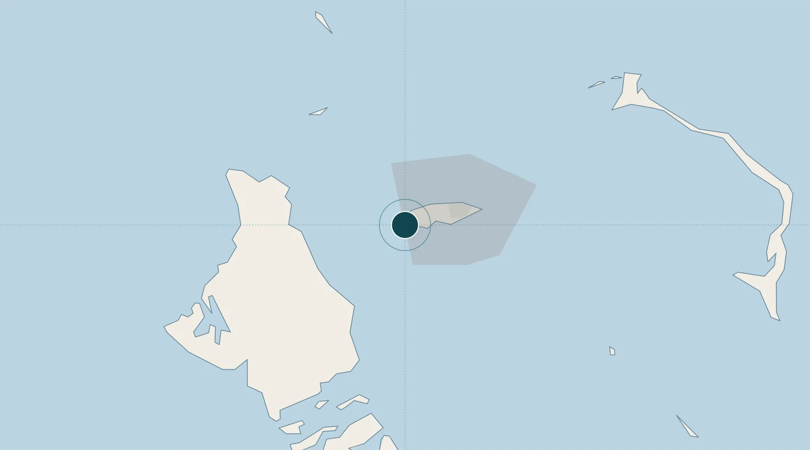
Location
Nearby Logistics Neighbours
Ports
- 1Nassau22 km
- 2South Riding Point192 km
- 3Freeport209 km
- 4Miami279 km
- 5Port Everglades285 km
Cities
- 1San Andros51 km
- 2Nassau70 km
- 3Great Harbour Cay88 km
- 4Congo Town95 km
- 5Little Stirrup Cay99 km
Airports
- 1Lynden Pindling International Airport10 km
- 2Andros Town Airport42 km
- 3San Andros Airport51 km
- 4Chub Cay Airport57 km
- 5Clarence A. Bain Airport80 km
Trade Zones
- 1Freeport Bahamas204 km
- 2Grand Bahama International Airport207 km
- 3FTZ No. 180 Miami (Wynwood)282 km
- 4FTZ No. 025 Broward County285 km
- 5FTZ No. 032 Miami291 km
DatabookThe Record of Consolidated Knowledge
Bahamas beyond logistics?