Transport Functions
Port
Airport
Hub Profile
Place type
Populated place
Region
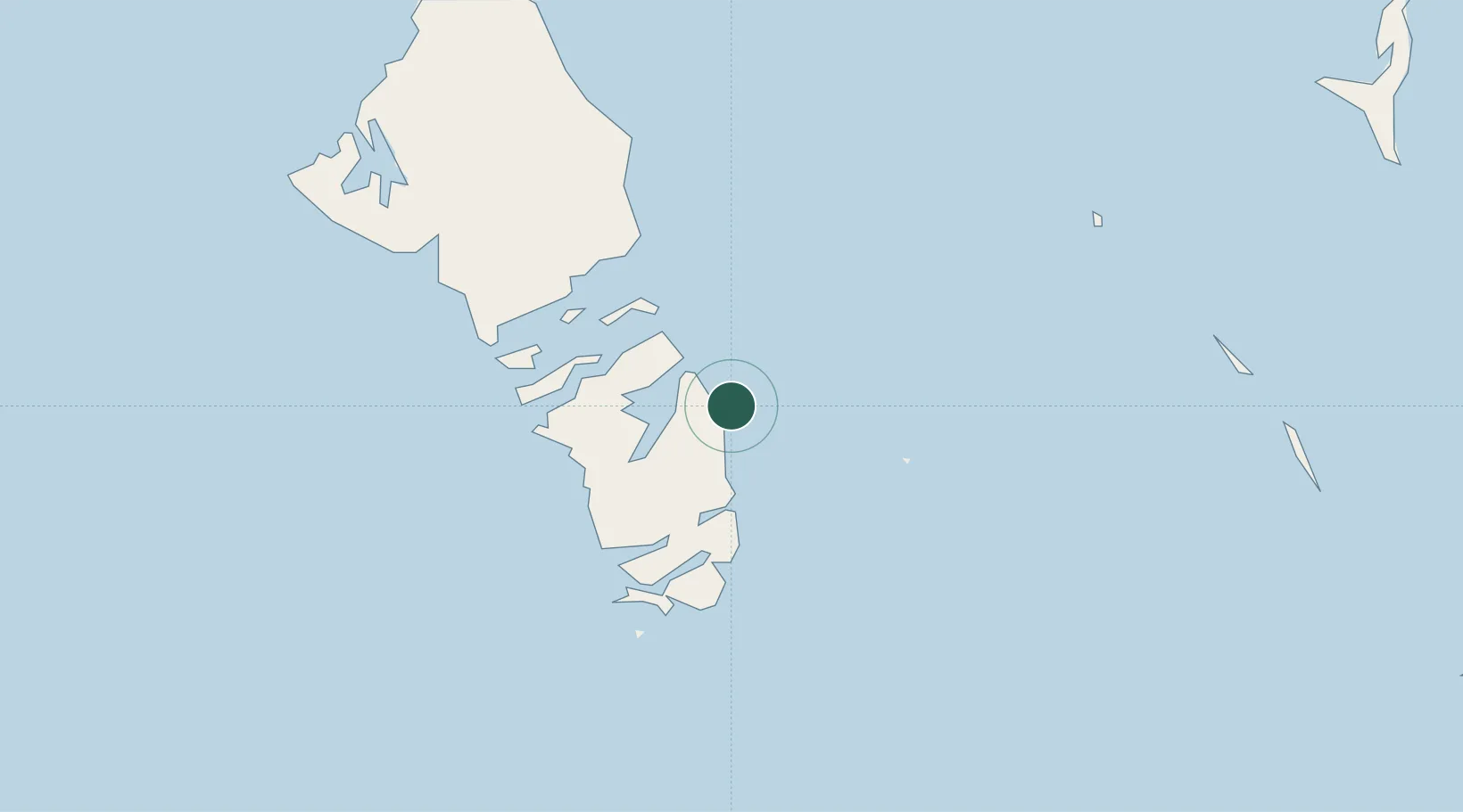
South Andros
Population
90
Time zone
America/Nassau
Elevation
9 m
Location
Nearby Logistics Neighbours
Cities
- 1Clifton Point95 km
- 2San Andros115 km
- 3Cape Eleuthera141 km
- 4Bock Cay144 km
- 5Rock Sound159 km
Ports
- 1Clifton Pier95 km
- 2Nassau105 km
- 3Caibarien267 km
- 4South Riding Point283 km
- 5Isabela De Sagua285 km
Airports
Trade Zones
- 1Freeport Bahamas288 km
- 2Grand Bahama International Airport291 km
- 3FTZ No. 180 Miami (Wynwood)326 km
- 4FTZ No. 032 Miami334 km
- 5FTZ No. 025 Broward County338 km
DatabookThe Record of Consolidated Knowledge
Bahamas beyond logistics?