Transport Functions
Port
Airport
Hub Profile
Place type
Regional capital
Region
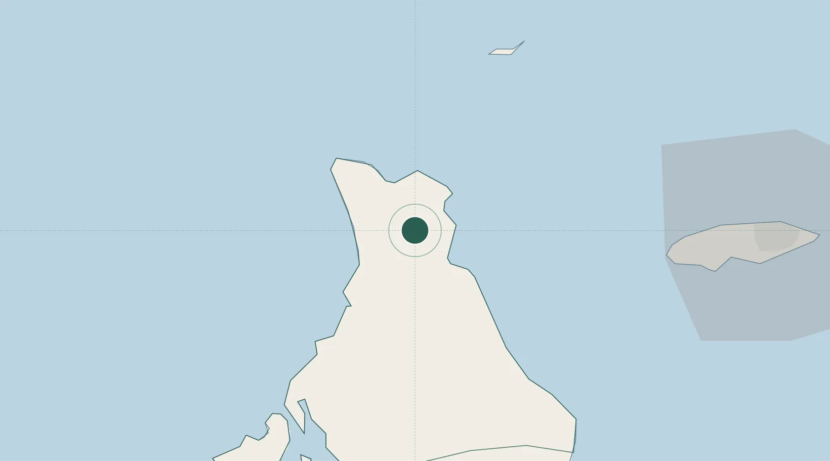
North Andros
Population
7,800
Time zone
America/Nassau
Elevation
15 m
Location
Nearby Logistics Neighbours
Cities
- 1Clifton Point53 km
- 2Great Harbour Cay79 km
- 3Little Stirrup Cay84 km
- 4Great Stirrup Cay87 km
- 5Nassau98 km
Ports
- 1Clifton Pier51 km
- 2Nassau71 km
- 3South Riding Point173 km
- 4Freeport177 km
- 5Miami229 km
Airports
- 1San Andros Airport1 km
- 2Chub Cay Airport43 km
- 3Andros Town Airport48 km
- 4Lynden Pindling International Airport59 km
- 5Great Harbour Cay Airport78 km
Trade Zones
- 1Freeport Bahamas174 km
- 2Grand Bahama International Airport177 km
- 3FTZ No. 180 Miami (Wynwood)232 km
- 4FTZ No. 025 Broward County237 km
- 5FTZ No. 032 Miami241 km
DatabookThe Record of Consolidated Knowledge
Bahamas beyond logistics?