Medium airport · Bahamas
Andros Town AirportMYAF
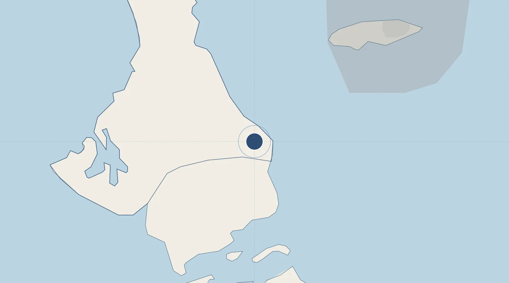
24.6979°, -77.7956°
4,058 ft
Longest runway
1
Runways
5 ft
Elevation
Runway & Layout

Radio Frequencies
OPS
126.3 MHz
AUTEC OPS
UNIC
122.8 MHz
UNICOM
Runways · 1
| Runway | Dimensions | Surface | True heading | Lit |
|---|---|---|---|---|
| 09/27 | 4,058 × 100ft | Asphalt | 090° | ✓ |
Airport Specifications
IATA code
ASD
ICAO code
MYAF
Airport class
Medium airport
Scheduled service
Yes
Runway surface
Asphalt
Served city
Andros Town
Location
Nearby Logistics Neighbours
Airports
- 1Clarence A. Bain Airport47 km
- 2San Andros Airport47 km
- 3Lynden Pindling International Airport50 km
- 4Congo Town Airport64 km
- 5Chub Cay Airport80 km
Cities
- 1Clifton Point43 km
- 2San Andros48 km
- 3Congo Town67 km
- 4Nassau111 km
- 5Great Harbour Cay117 km
Ports
- 1Clifton Pier42 km
- 2Nassau62 km
- 3South Riding Point218 km
- 4Freeport225 km
- 5Miami269 km
Trade Zones
- 1Freeport Bahamas222 km
- 2Grand Bahama International Airport225 km
- 3FTZ No. 180 Miami (Wynwood)272 km
- 4FTZ No. 025 Broward County280 km
- 5FTZ No. 032 Miami281 km
DatabookThe Record of Consolidated Knowledge
Bahamas beyond logistics?