Transport Functions
Port
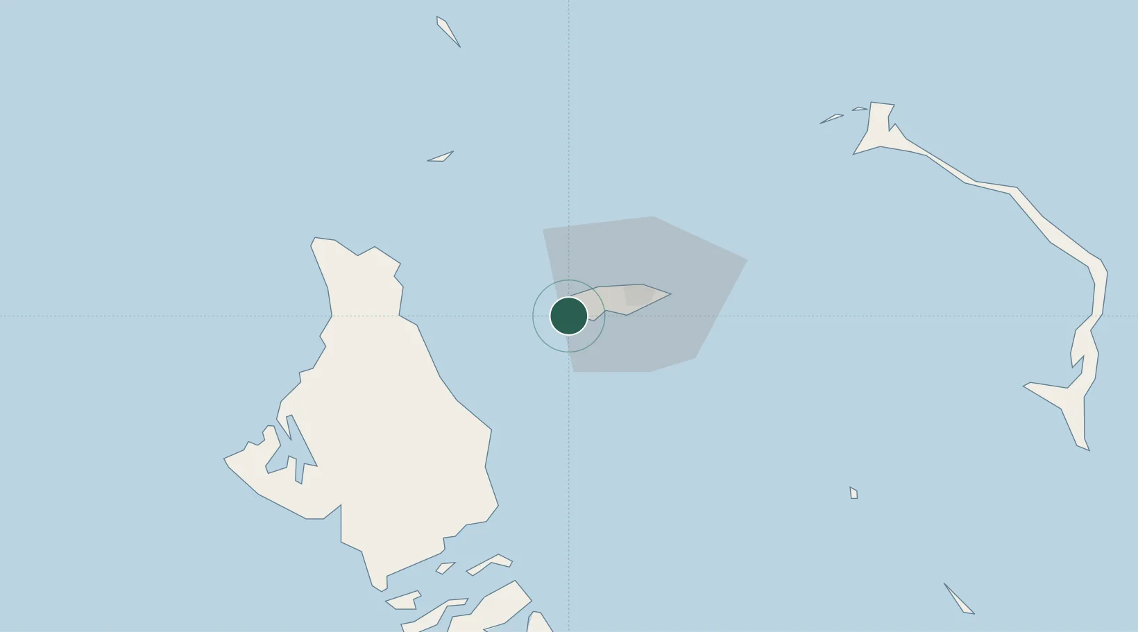
Location
Nearby Logistics Neighbours
Cities
- 1San Andros53 km
- 2Nassau69 km
- 3Great Harbour Cay89 km
- 4Congo Town95 km
- 5Little Stirrup Cay99 km
Ports
- 1Nassau21 km
- 2South Riding Point192 km
- 3Freeport210 km
- 4Miami280 km
- 5Port Everglades287 km
Airports
- 1Lynden Pindling International Airport8 km
- 2Andros Town Airport43 km
- 3San Andros Airport52 km
- 4Chub Cay Airport58 km
- 5Clarence A. Bain Airport81 km
Trade Zones
- 1Freeport Bahamas205 km
- 2Grand Bahama International Airport208 km
- 3FTZ No. 180 Miami (Wynwood)283 km
- 4FTZ No. 025 Broward County287 km
- 5FTZ No. 032 Miami293 km
DatabookThe Record of Consolidated Knowledge
Bahamas beyond logistics?