UN/LOCODE hub · Bahamas
BSNAS

Nassau

25.5668°, -77.2533°
227,940
Population
3
Transport functions
1
Container terminals

Transport Functions

Port
Airport
Postal
Nassau is also a profiled seaport →
UN/LOCODE

Hub Profile

Place type
National capital
GeoNames
Region
New Providence
GeoNames
Population
227,940
GeoNames
Time zone
America/Nassau
GeoNames
Elevation
5 m
GeoNames
Logistics facilities
4
UN/LOCODE
Container terminals
1
UN/LOCODE

Location

Location of BSNAS
Natural Earth 10m (public domain) · New Providence · BSNAS · 25.57, -77.25GoogleOSMYandex

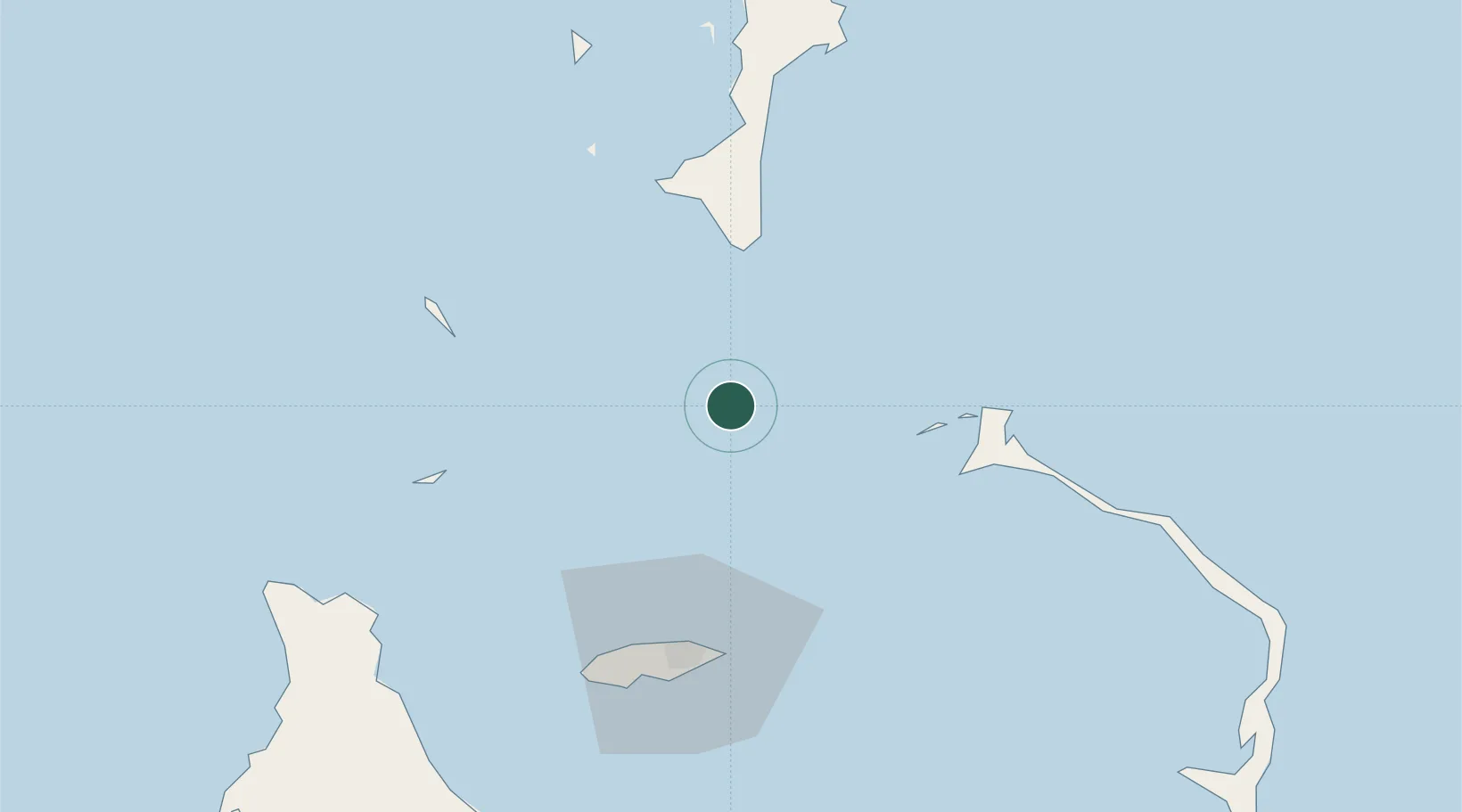
Nearby Logistics Neighbours

Cities
  1. 1Great Harbour Cay62 km
  2. 2Harbour Island63 km
  3. 3Harbour Island63 km
  4. 4Gorda Cay64 km
  5. 5Clifton Point69 km
Nearest neighbours — logibook spatial index (haversine) over the source coordinates
Ports
  1. 1Clifton Pier70 km
  2. 2South Riding Point151 km
  3. 3Freeport186 km
  4. 4Port Everglades293 km
  5. 5Miami295 km
Nearest neighbours — logibook spatial index (haversine) over the source coordinates
Airports
  1. 1North Eleuthera Airport58 km
  2. 2Great Harbour Cay Airport62 km
  3. 3Lynden Pindling International Airport63 km
  4. 4Chub Cay Airport65 km
  5. 5Governor's Harbour Airport98 km
Nearest neighbours — logibook spatial index (haversine) over the source coordinates
Trade Zones
  1. 1Freeport Bahamas177 km
  2. 2Grand Bahama International Airport181 km
  3. 3FTZ No. 025 Broward County293 km
  4. 4FTZ No. 180 Miami (Wynwood)297 km
  5. 5FTZ No. 241 Fort Lauderdale301 km
Nearest neighbours — logibook spatial index (haversine) over the source coordinates
DatabookThe Record of Consolidated Knowledge
Bahamas beyond logistics?
Browse databook

All Sources

LocationsUN/LOCODE
UN/LOCODE — free
LocationsGeoNames
CC BY 4.0
Portsthe NGA World Port Index
Public domain (US gov)
AirportsOurAirports
Public domain
Trade Zonesthe World Bank SEZ database
CC BY 4.0
Trade ZonesOpen Zone Map
CC BY
← Bahamas locations