Medium airport · Bahamas

San Andros AirportMYAN
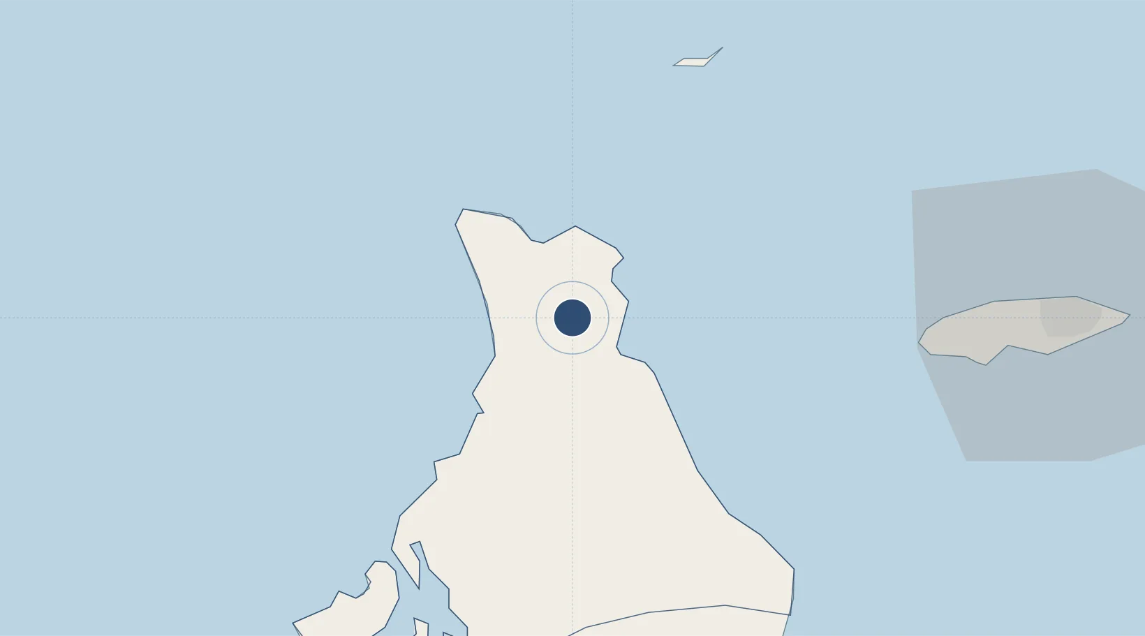
25.0538°, -78.0490°
5,025 ft
Longest runway
1
Runways
5 ft
Elevation

Runway & Layout

San Andros Airport runway & taxiway layout
Runway & taxiway layout — OpenStreetMap (ODbL) / OurAirports

Radio Frequencies

UNIC
122.8 MHz
UNICOM
OurAirports

Runways · 1

RunwayDimensions SurfaceTrue headingLit
12/30 5,025 × 75ft Bitumen 112°
OurAirports

Airport Specifications

IATA code
SAQ
OurAirports
ICAO code
MYAN
OurAirports
Airport class
Medium airport
OurAirports
Scheduled service
Yes
OurAirports
Runway surface
Bitumen
OurAirports
Served city
Andros Island
OurAirports

Location

Location of MYAN
Natural Earth 10m (public domain) · North Andros · MYAN · 25.05, -78.05GoogleOSMYandex

Nearby Logistics Neighbours

Airports
  1. 1Chub Cay Airport44 km
  2. 2Andros Town Airport47 km
  3. 3Lynden Pindling International Airport59 km
  4. 4Great Harbour Cay Airport79 km
  5. 5Clarence A. Bain Airport93 km
Nearest neighbours — logibook spatial index (haversine) over the source coordinates
Cities
  1. 1San Andros1 km
  2. 2Clifton Point52 km
  3. 3Great Harbour Cay80 km
  4. 4Little Stirrup Cay86 km
  5. 5Great Stirrup Cay88 km
Nearest neighbours — logibook spatial index (haversine) over the source coordinates
Ports
  1. 1Clifton Pier51 km
  2. 2Nassau71 km
  3. 3South Riding Point175 km
  4. 4Freeport179 km
  5. 5Miami229 km
Nearest neighbours — logibook spatial index (haversine) over the source coordinates
Trade Zones
  1. 1Freeport Bahamas176 km
  2. 2Grand Bahama International Airport179 km
  3. 3FTZ No. 180 Miami (Wynwood)232 km
  4. 4FTZ No. 025 Broward County238 km
  5. 5FTZ No. 032 Miami242 km
Nearest neighbours — logibook spatial index (haversine) over the source coordinates
DatabookThe Record of Consolidated Knowledge
Bahamas beyond logistics?
Browse databook

All Sources

AirportsOurAirports
Public domain
Portsthe NGA World Port Index
Public domain (US gov)
LocationsUN/LOCODE
UN/LOCODE — free
Trade Zonesthe World Bank SEZ database
CC BY 4.0
Trade ZonesOpen Zone Map
CC BY
InfrastructureOpenStreetMap
ODbL 1.0
← Bahamas airports