Medium airport · Australia

Halls Creek AirportYHLC
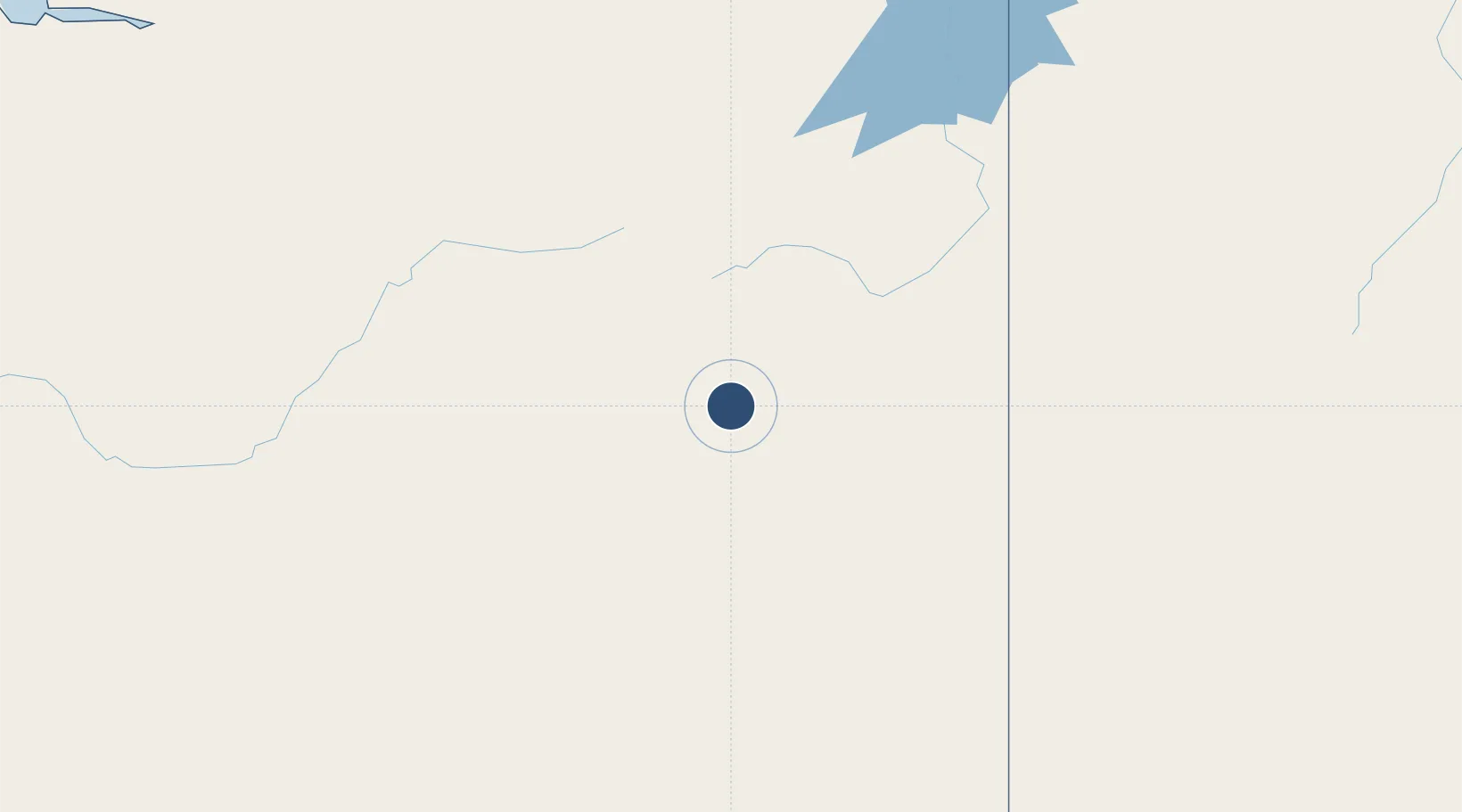
-18.2339°, 127.6700°
4,839 ft
Longest runway
2
Runways
1,346 ft
Elevation

Runway & Layout

Halls Creek Airport runway & taxiway layout
Runway & taxiway layout — OpenStreetMap (ODbL) / OurAirports

Radio Frequencies

CTAF
126.7 MHz
FSS
118.2 MHz
BRISBANE CNTR
OurAirports

Navaids

HLC NDB Halls Creek 266 kHz
OurAirports

Runways · 2

RunwayDimensions SurfaceTrue headingLit
04/22 4,839 × 98ft Asphalt 044°
08/26 3,104 × 59ft Gravel 086°
OurAirports

Airport Specifications

IATA code
HCQ
OurAirports
ICAO code
YHLC
OurAirports
Airport class
Medium airport
OurAirports
Scheduled service
No
OurAirports
Runway surface
Asphalt
OurAirports

Location

Location of YHLC
Natural Earth 10m (public domain) · Western Australia · YHLC · -18.23, 127.67GoogleOSMYandex

Nearby Logistics Neighbours

Airports
  1. 1Fitzroy Crossing Airport223 km
  2. 2East Kimberley Regional (Kununurra) Airport295 km
  3. 3Hooker Creek Airport314 km
  4. 4Kalkgurung Airport344 km
  5. 5RAAF Base Curtin413 km
Nearest neighbours — logibook spatial index (haversine) over the source coordinates
Cities
  1. 1Blacktip Terminal463 km
  2. 2Cockatoo Island492 km
  3. 3Troughton Island525 km
  4. 4Katherine645 km
  5. 5Montara Field690 km
Nearest neighbours — logibook spatial index (haversine) over the source coordinates
Ports
  1. 1Wyndham311 km
  2. 2Broome575 km
  3. 3Darwin726 km
  4. 4Port Hedland981 km
  5. 5Kupang999 km
Nearest neighbours — logibook spatial index (haversine) over the source coordinates
Trade Zones
  1. 1Oecusse Ambeno Enclave Special Zone For Social Market Economy (Zeesm)1054 km
  2. 2Atauro Special Economic Zone1135 km
  3. 3KEK Mandalika1608 km
  4. 4Bantaeng Industrial Park (BIP)1647 km
  5. 5Terpadu Takalar Industrial Estate1679 km
Nearest neighbours — logibook spatial index (haversine) over the source coordinates
DatabookThe Record of Consolidated Knowledge
Australia beyond logistics?
Browse databook

All Sources

AirportsOurAirports
Public domain
Portsthe NGA World Port Index
Public domain (US gov)
LocationsUN/LOCODE
UN/LOCODE — free
Trade Zonesthe World Bank SEZ database
CC BY 4.0
Trade ZonesOpen Zone Map
CC BY
InfrastructureOpenStreetMap
ODbL 1.0
← Australia airports