Seaport · Australia

BroomeAUBME

-17.9667°, 122.2333°
11.0 m
Channel depth
8.8
Port liner connectivity

Channel & Berth Profile

SEA LEVEL (CD)CHANNEL BEDCargo pier · 7.9 mOil terminal · 9.4 mChannel · 11.0 mAnchorage · 14.0 m
NGA World Port Index

Pilotage, Tugs & Services

Pilotage compulsoryYES
Pilotage availableYES
Tug assistanceYES
Salvage tugsNO
Potable waterYES
Diesel bunkersYES
MedicalYES
Garbage disposalYES
NGA World Port Index

Facilities & Capabilities

Container
Ro-Ro
Liquid bulk
Dry bulk
Oil terminal
Break bulk
Dry dock
RepairsNO
Bunkering
Rail link
Dangerous cargo
ISPS security
NGA World Port Index

Harbour Specifications

Harbour size
Small
NGA World Port Index
Harbour type
Coastal (Natural)
NGA World Port Index
Shelter
Excellent
NGA World Port Index
Water body
Indian Ocean
NGA World Port Index
Tidal range
9 m
NGA World Port Index
Pilotage
Yes
NGA World Port Index

Liner Connectivity

8.8
PLSCI

Port Liner Shipping Connectivity Index for Broome, as published by UNCTAD for the latest available quarter. Higher values indicate stronger scheduled liner-shipping integration.

Shown relative to the highest per-port PLSCI in the dataset (1,657.9).
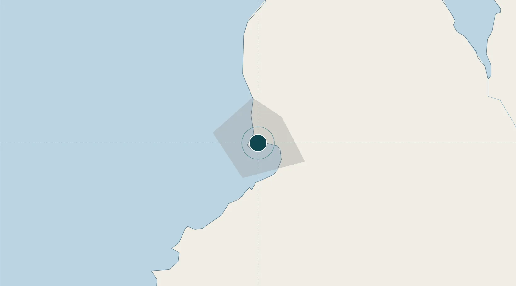
UNCTAD · Port Liner Shipping Connectivity Index

Location

Location of AUBME
Natural Earth 10m (public domain) · Western Australia · AUBME · -17.97, 122.23GoogleOSMYandex

Nearby Logistics Neighbours

Ports
  1. 1Port Hedland464 km
  2. 2Port Walcott608 km
  3. 3Dampier650 km
  4. 4Wyndham684 km
  5. 5Onslow851 km
Nearest neighbours — logibook spatial index (haversine) over the source coordinates
Cities
  1. 1Cockatoo Island254 km
  2. 2Port Hedland466 km
  3. 3Montara Field578 km
  4. 4Troughton Island628 km
  5. 5Cossack Pioneer (oil Terminal)635 km
Nearest neighbours — logibook spatial index (haversine) over the source coordinates
Airports
  1. 1Broome International Airport2 km
  2. 2Derby Airport165 km
  3. 3RAAF Base Curtin174 km
  4. 4Fitzroy Crossing Airport353 km
  5. 5Telfer Airport417 km
Nearest neighbours — logibook spatial index (haversine) over the source coordinates
Trade Zones
  1. 1Oecusse Ambeno Enclave Special Zone For Social Market Economy (Zeesm)986 km
  2. 2Atauro Special Economic Zone1143 km
  3. 3KEK Mandalika1195 km
  4. 4Bantaeng Industrial Park (BIP)1410 km
  5. 5Terpadu Takalar Industrial Estate1423 km
Nearest neighbours — logibook spatial index (haversine) over the source coordinates
DatabookThe Record of Consolidated Knowledge
Australia beyond logistics?
Browse databook

All Sources

Portsthe NGA World Port Index
Public domain (US gov)
Logistics performanceUNCTAD
CC BY 3.0 IGO
AirportsOurAirports
Public domain
LocationsUN/LOCODE
UN/LOCODE — free
Trade Zonesthe World Bank SEZ database
CC BY 4.0
Trade ZonesOpen Zone Map
CC BY
← Australia ports