Channel & Berth Profile
Pilotage, Tugs & Services
Pilotage compulsoryYES
Pilotage availableYES
Pilotage advisableYES
Tug assistanceYES
Salvage tugsYES
Potable waterYES
Diesel bunkersYES
MedicalYES
Garbage disposalYES
Facilities & Capabilities
Container—
Ro-Ro—
Liquid bulk—
Dry bulk—
Oil terminal—
Break bulk—
Dry dock—
RepairsNO
BunkeringNO
Rail linkYES
Dangerous cargo—
ISPS security—
Harbour Specifications
Harbour size
Small
Harbour type
Coastal (Breakwater)
Shelter
Poor
Water body
Spencer Gulf; Indian Ocean
Tidal range
2 m
Pilotage
Yes
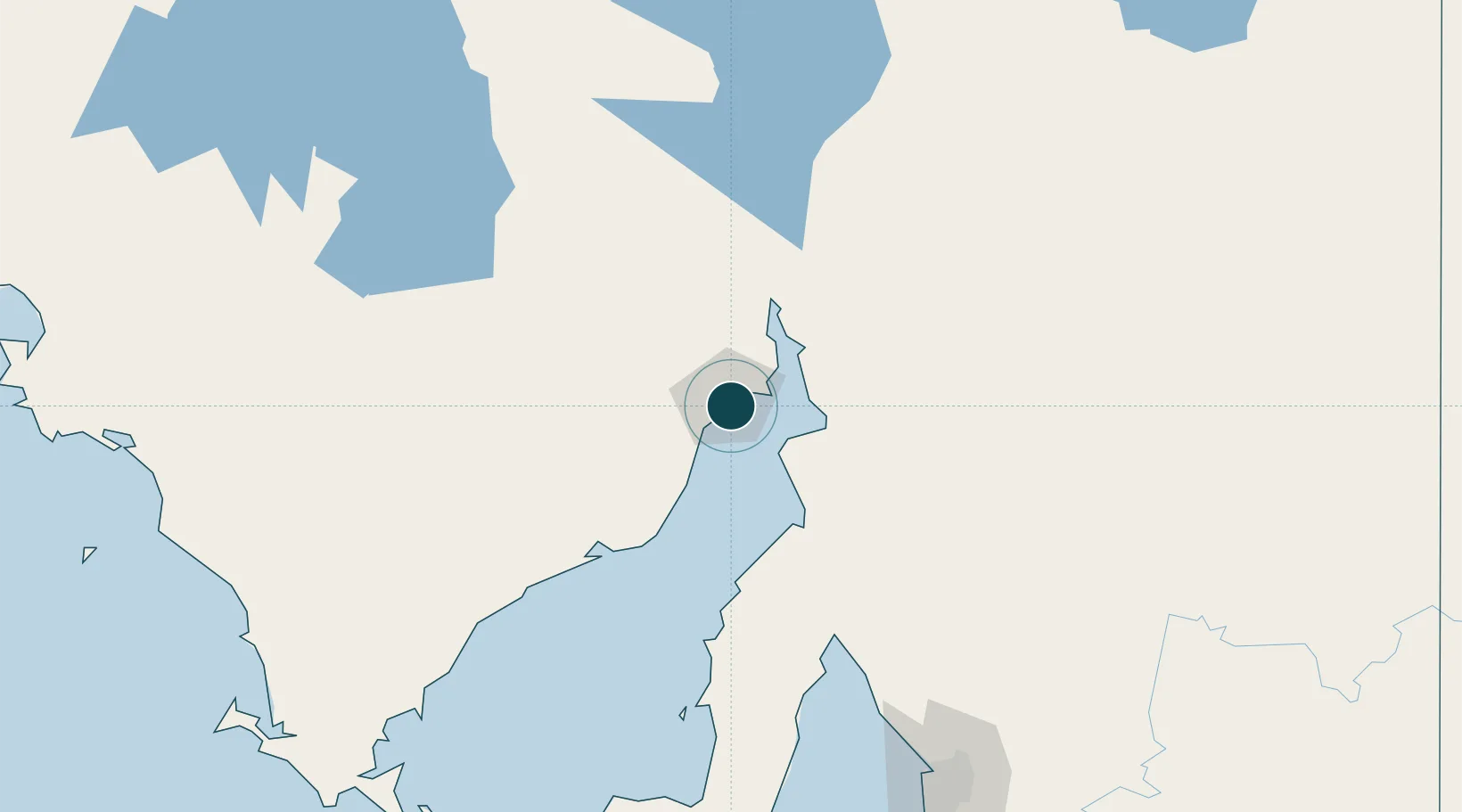
Location
Nearby Logistics Neighbours
Ports
- 1Port Bonython17 km
- 2Port Pirie44 km
- 3Wallaroo100 km
- 4Ardrossan159 km
- 5Klein Point216 km
Cities
- 1Lucky Bay95 km
- 2Andrews116 km
- 3Clare130 km
- 4Twowells194 km
- 5Shea Oak Log201 km
Airports
- 1Whyalla Airport7 km
- 2Port Pirie Airport45 km
- 3Port Augusta Airport60 km
- 4Cleve Airport125 km
- 5RAAF Base Edinburgh209 km
DatabookThe Record of Consolidated Knowledge
Australia beyond logistics?