Transport Functions
Port
Multimodal
Hub Profile
Place type
Populated place
Region
South Australia
Population
3,223
Time zone
Australia/Adelaide
Elevation
390 m
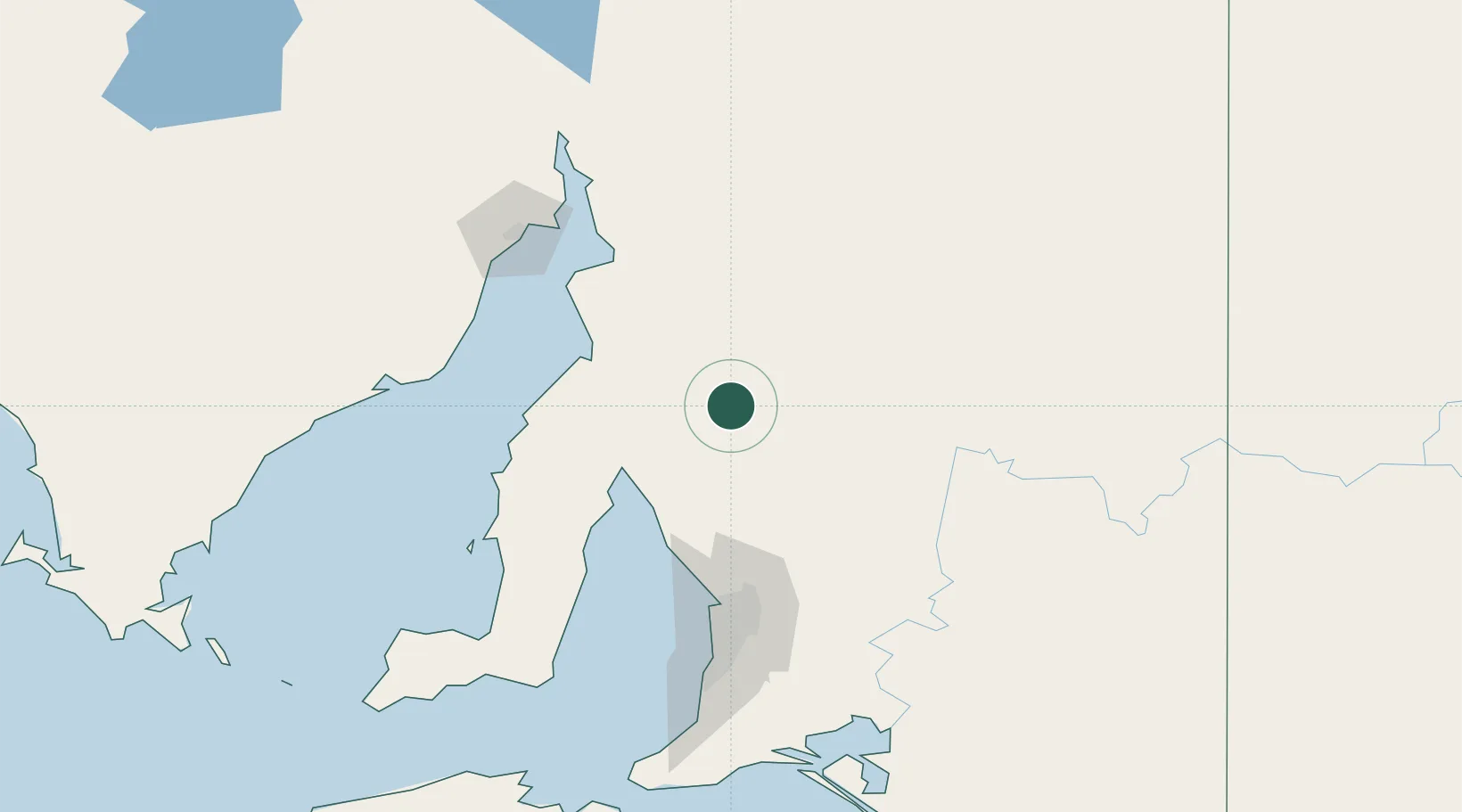
Location
Nearby Logistics Neighbours
Cities
- 1Andrews26 km
- 2Greenock76 km
- 3Shea Oak Log79 km
- 4Twowells86 km
- 5Virginia93 km
Ports
- 1Port Pirie90 km
- 2Wallaroo92 km
- 3Ardrossan92 km
- 4Port Adelaide113 km
- 5Port Bonython119 km
Airports
- 1Port Pirie Airport87 km
- 2RAAF Base Edinburgh97 km
- 3Adelaide International Airport124 km
- 4Whyalla Airport133 km
- 5Port Augusta Airport169 km
DatabookThe Record of Consolidated Knowledge
Australia beyond logistics?