Transport Functions
Port
Hub Profile
Place type
Populated place
Region
South Australia
Population
48
Time zone
Australia/Adelaide
Elevation
5 m
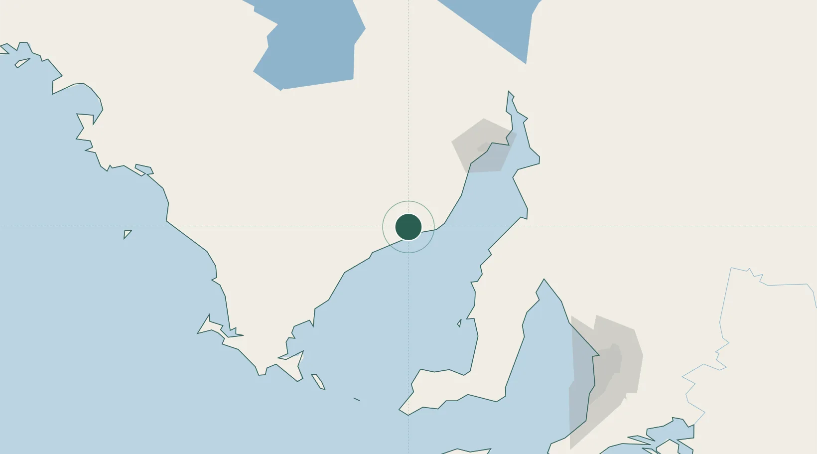
Location
Nearby Logistics Neighbours
Cities
- 1Clare157 km
- 2Andrews159 km
- 3Twowells178 km
- 4Virginia186 km
- 5Outer Harbour189 km
Ports
- 1Wallaroo70 km
- 2Whyalla95 km
- 3Port Bonython108 km
- 4Port Pirie116 km
- 5Ardrossan124 km
Airports
- 1Cleve Airport38 km
- 2Whyalla Airport89 km
- 3Port Pirie Airport112 km
- 4Port Lincoln Airport140 km
- 5Port Augusta Airport151 km
DatabookThe Record of Consolidated Knowledge
Australia beyond logistics?