Transport Functions
Port
Multimodal
Hub Profile
Place type
Populated place
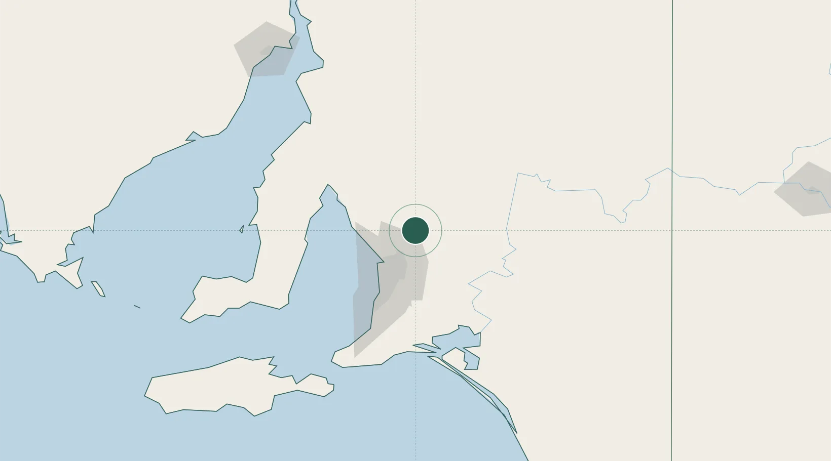
Region
South Australia
Population
131
Time zone
Australia/Adelaide
Elevation
144 m
Location
Nearby Logistics Neighbours
Cities
- 1Greenock11 km
- 2Elizabeth27 km
- 3Keyneton30 km
- 4Virginia30 km
- 5Eden Valley30 km
Ports
- 1Port Adelaide47 km
- 2Ardrossan83 km
- 3Klein Point108 km
- 4Port Giles112 km
- 5Wallaroo128 km
Airports
- 1RAAF Base Edinburgh28 km
- 2Adelaide International Airport55 km
- 3Port Pirie Airport161 km
- 4Renmark Airport174 km
- 5Kingscote Airport178 km
DatabookThe Record of Consolidated Knowledge
Australia beyond logistics?