Channel & Berth Profile
Pilotage, Tugs & Services
Pilotage compulsoryYES
Pilotage availableYES
Pilotage advisableYES
Tug assistanceYES
Salvage tugsYES
Potable waterNO
Diesel bunkersNO
MedicalYES
Garbage disposalNO
Facilities & Capabilities
Container—
Ro-Ro—
Liquid bulk—
Dry bulk—
Oil terminal—
Break bulk—
Dry dock—
RepairsNO
BunkeringNO
Rail linkYES
Dangerous cargo—
ISPS security—
Harbour Specifications
Harbour size
Small
Harbour type
Open Roadstead
Shelter
Poor
Water body
Spencer Gulf; Indian Ocean
Tidal range
2 m
Pilotage
Yes
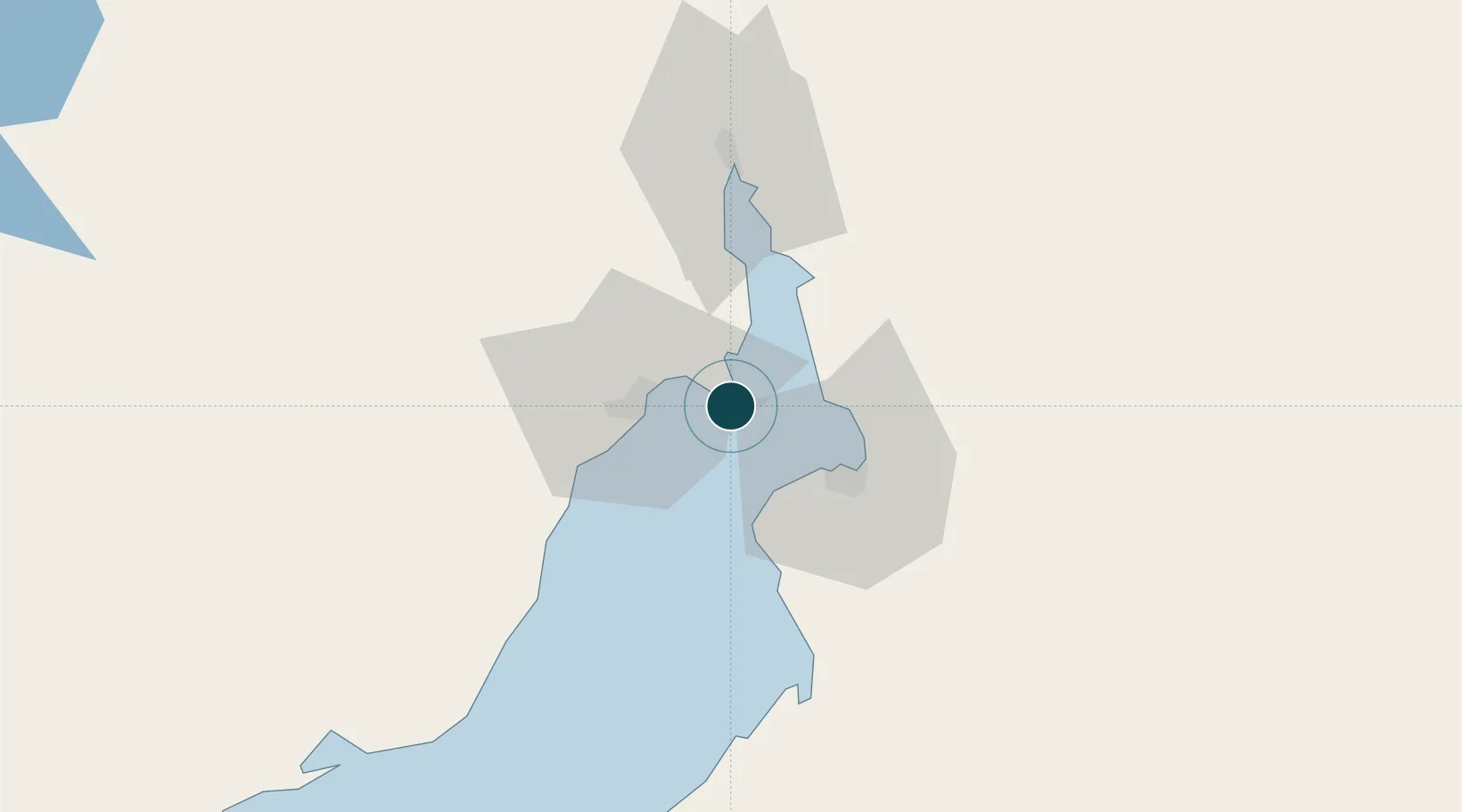
Location
Nearby Logistics Neighbours
Ports
- 1Whyalla17 km
- 2Port Pirie30 km
- 3Wallaroo103 km
- 4Ardrossan158 km
- 5Port Adelaide215 km
Cities
- 1Andrews103 km
- 2Lucky Bay108 km
- 3Clare119 km
- 4Twowells189 km
- 5Shea Oak Log193 km
Airports
- 1Whyalla Airport24 km
- 2Port Pirie Airport33 km
- 3Port Augusta Airport57 km
- 4Cleve Airport140 km
- 5RAAF Base Edinburgh204 km
DatabookThe Record of Consolidated Knowledge
Australia beyond logistics?