Medium airport · Australia
Whyalla AirportYWHA
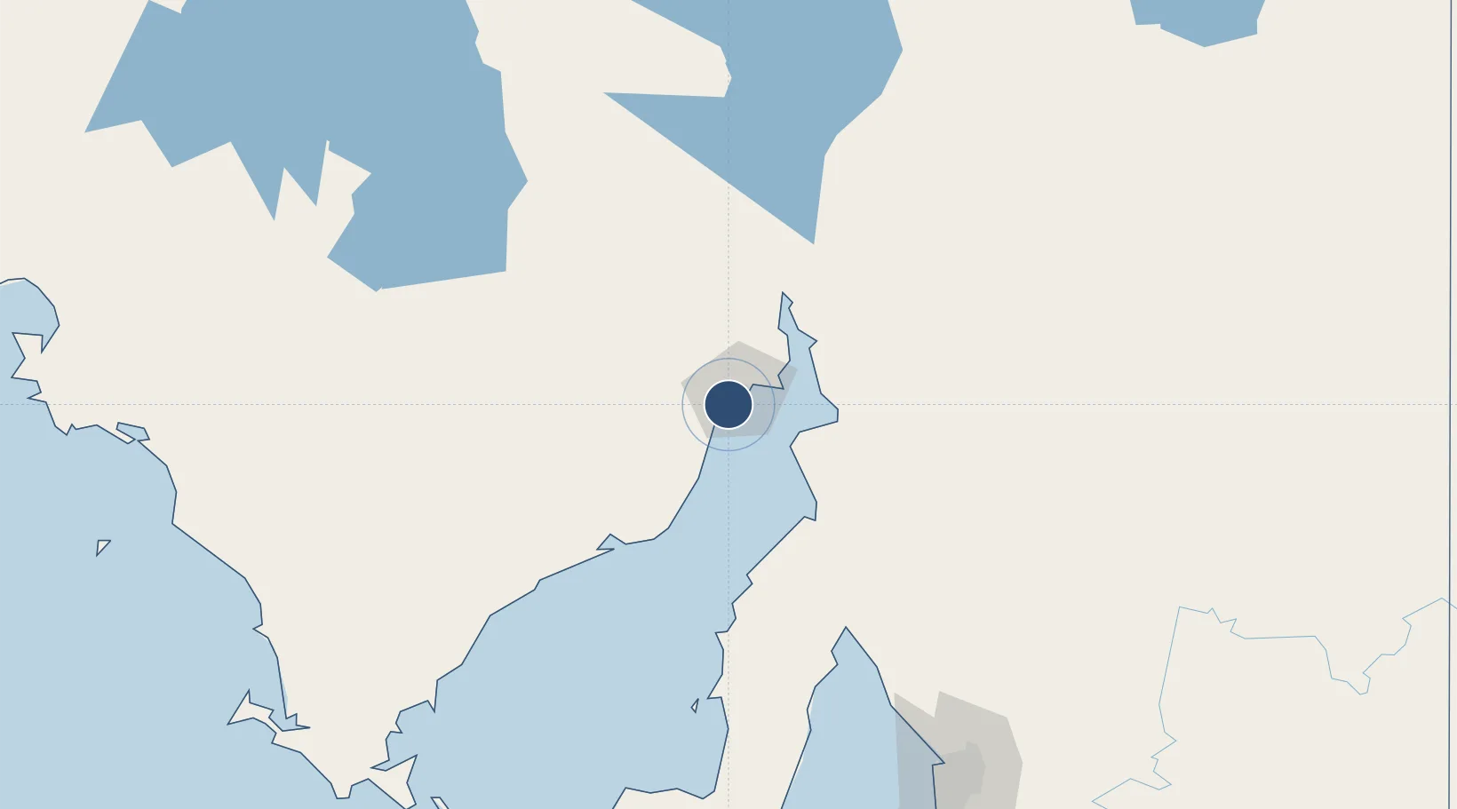
-33.0589°, 137.5140°
5,531 ft
Longest runway
2
Runways
41 ft
Elevation
Runway & Layout

Radio Frequencies
CTAF
126.9 MHz
FSS
123.9 MHz
MELBOURNE CNTR
Navaids
WHA NDB Whyalla 371 kHz
Runways · 2
| Runway | Dimensions | Surface | True heading | Lit |
|---|---|---|---|---|
| 17/35 | 5,531 × 148ft | Asphalt | 175° | ✓ |
| 05/23 | 4,619 × 98ft | Gravel | 054° | ✓ |
Airport Specifications
IATA code
WYA
ICAO code
YWHA
Airport class
Medium airport
Scheduled service
Yes
Runway surface
Asphalt
Served city
Whyalla
Location
Nearby Logistics Neighbours
Airports
- 1Port Pirie Airport49 km
- 2Port Augusta Airport64 km
- 3Cleve Airport118 km
- 4RAAF Base Edinburgh210 km
- 5Port Lincoln Airport229 km
Cities
- 1Lucky Bay89 km
- 2Andrews120 km
- 3Clare133 km
- 4Twowells194 km
- 5Shea Oak Log202 km
Ports
- 1Whyalla7 km
- 2Port Bonython24 km
- 3Port Pirie49 km
- 4Wallaroo98 km
- 5Ardrossan157 km
DatabookThe Record of Consolidated Knowledge
Australia beyond logistics?