Transport Functions
Rail
Road
Hub Profile
Place type
Populated place
Region
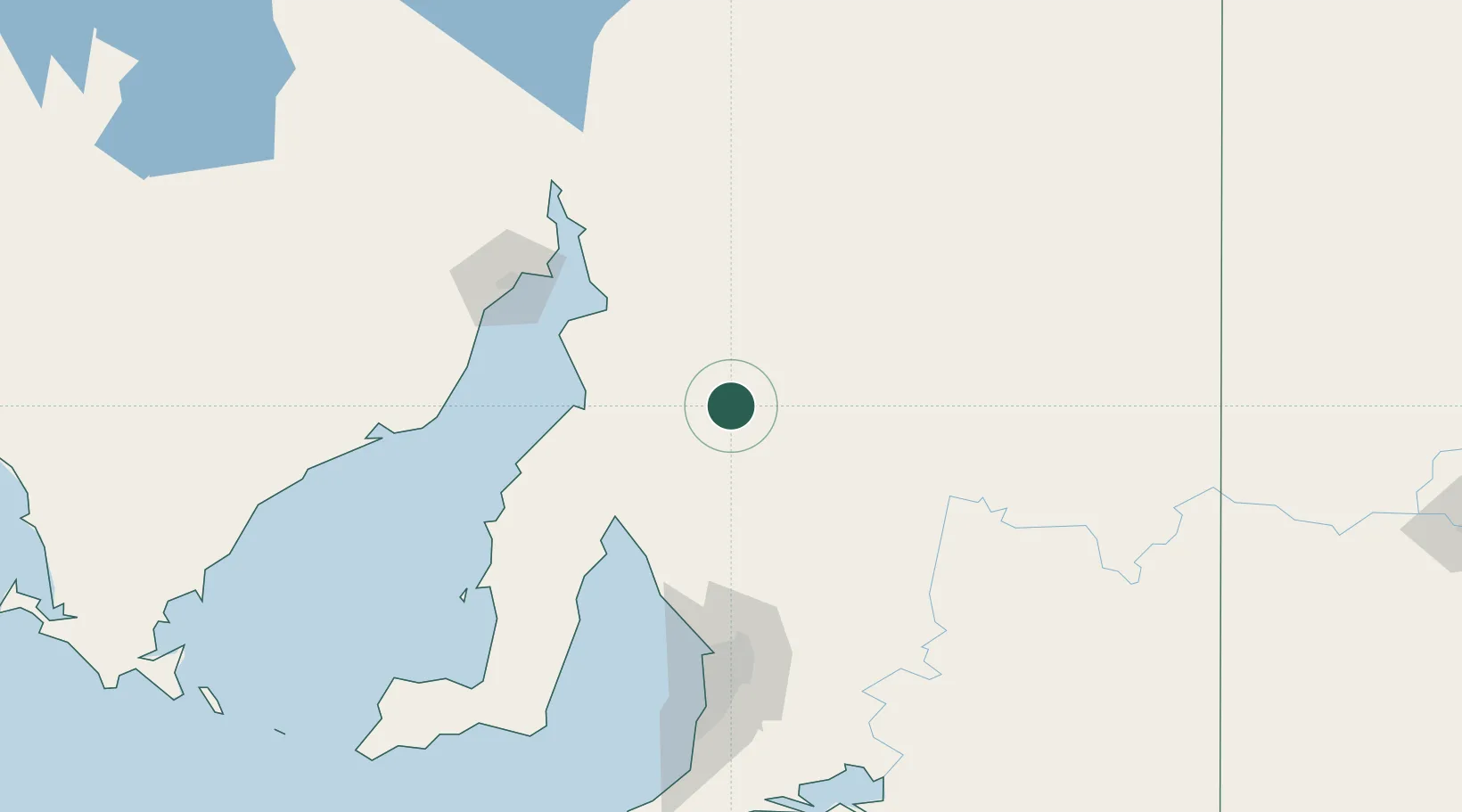
South Australia
Population
37
Time zone
Australia/Adelaide
Elevation
321 m
Location
Nearby Logistics Neighbours
Cities
- 1Clare26 km
- 2Greenock100 km
- 3Shea Oak Log103 km
- 4Twowells112 km
- 5Keyneton117 km
Ports
- 1Port Pirie74 km
- 2Wallaroo101 km
- 3Port Bonython103 km
- 4Ardrossan114 km
- 5Whyalla116 km
Airports
- 1Port Pirie Airport72 km
- 2Whyalla Airport120 km
- 3RAAF Base Edinburgh123 km
- 4Port Augusta Airport149 km
- 5Adelaide International Airport150 km
DatabookThe Record of Consolidated Knowledge
Australia beyond logistics?