Medium airport · Australia

Port Augusta AirportYPAG
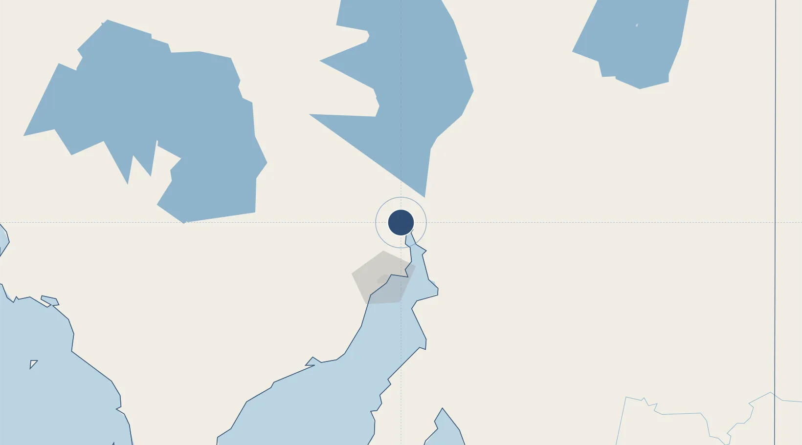
-32.5069°, 137.7170°
5,413 ft
Longest runway
1
Runways
56 ft
Elevation

Runway & Layout

Port Augusta Airport runway & taxiway layout
Runway & taxiway layout — OpenStreetMap (ODbL) / OurAirports

Radio Frequencies

CTAF
126.7 MHz
FSS
123.9 MHz
MELBOURNE CNTR
OurAirports

Navaids

PAG NDB Port Augusta 212 kHz
OurAirports

Runways · 1

RunwayDimensions SurfaceTrue headingLit
15/33 5,413 × 98ft Asphalt 159°
OurAirports

Airport Specifications

IATA code
PUG
OurAirports
ICAO code
YPAG
OurAirports
Airport class
Medium airport
OurAirports
Scheduled service
Yes
OurAirports
Runway surface
Asphalt
OurAirports

Location

Location of YPAG
Natural Earth 10m (public domain) · South Australia · YPAG · -32.51, 137.72GoogleOSMYandex

Nearby Logistics Neighbours

Airports
  1. 1Whyalla Airport64 km
  2. 2Port Pirie Airport85 km
  3. 3Cleve Airport175 km
  4. 4Leigh Creek Airport223 km
  5. 5Olympic Dam Airport239 km
Nearest neighbours — logibook spatial index (haversine) over the source coordinates
Cities
  1. 1Andrews149 km
  2. 2Lucky Bay151 km
  3. 3Clare169 km
  4. 4Twowells244 km
  5. 5Greenock245 km
Nearest neighbours — logibook spatial index (haversine) over the source coordinates
Ports
  1. 1Port Bonython57 km
  2. 2Whyalla60 km
  3. 3Port Pirie80 km
  4. 4Wallaroo159 km
  5. 5Ardrossan215 km
Nearest neighbours — logibook spatial index (haversine) over the source coordinates
DatabookThe Record of Consolidated Knowledge
Australia beyond logistics?
Browse databook

All Sources

AirportsOurAirports
Public domain
Portsthe NGA World Port Index
Public domain (US gov)
LocationsUN/LOCODE
UN/LOCODE — free
Trade Zonesthe World Bank SEZ database
CC BY 4.0
Trade ZonesOpen Zone Map
CC BY
InfrastructureOpenStreetMap
ODbL 1.0
← Australia airports