Medium airport · Australia

Proserpine Whitsunday Coast AirportYBPN
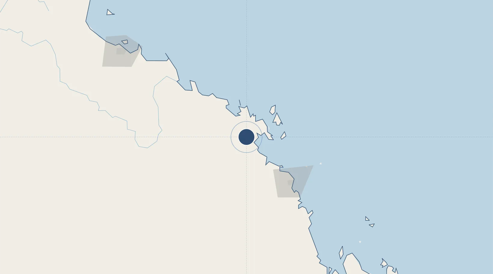
-20.4944°, 148.5536°
6,801 ft
Longest runway
2
Runways
82 ft
Elevation

Runway & Layout

Proserpine Whitsunday Coast Airport runway & taxiway layout
Runway & taxiway layout — OpenStreetMap (ODbL) / OurAirports

Radio Frequencies

CTAF
126.7 MHz
Ctaf
127.85 MHz
Whitsunday Shute harbour atc
FSS
135.5 MHz
BRISBANE CNTR
OurAirports

Navaids

PN VOR-DME Proserpine 113.70 MHz
PN NDB Proserpine 245 kHz
OurAirports

Runways · 2

RunwayDimensions SurfaceTrue headingLit
11/29 6,801 × 148ft Asphalt 115°
06/24 3,609 × 98ft Asphalt 067°
OurAirports

Airport Specifications

IATA code
PPP
OurAirports
ICAO code
YBPN
OurAirports
Airport class
Medium airport
OurAirports
Scheduled service
Yes
OurAirports
Runway surface
Asphalt
OurAirports
Served city
Proserpine
OurAirports

Location

Location of YBPN
Natural Earth 10m (public domain) · Queensland · YBPN · -20.49, 148.55GoogleOSMYandex

Nearby Logistics Neighbours

Airports
  1. 1Hamilton Island Airport44 km
  2. 2Hayman Island Resort Seaplane Base59 km
  3. 3Mackay Airport100 km
  4. 4Moranbah Airport181 km
  5. 5Townsville Airport / RAAF Base Townsville232 km
Nearest neighbours — logibook spatial index (haversine) over the source coordinates
Cities
  1. 1Red Hill21 km
  2. 2Abell Point31 km
  3. 3Whitsunday Island55 km
  4. 4Abbot Point82 km
  5. 5Pleystowe87 km
Nearest neighbours — logibook spatial index (haversine) over the source coordinates
Ports
  1. 1Mackay98 km
  2. 2Hay Point117 km
  3. 3Townsville227 km
  4. 4Lucinda320 km
  5. 5Mourilyan Harbour410 km
Nearest neighbours — logibook spatial index (haversine) over the source coordinates
Trade Zones
  1. 1Paga Hill Estate Special Economic Zone1234 km
  2. 2Ihu Special Economic Zone1442 km
  3. 3Ledger Atlas Special Economic Zone1547 km
  4. 4Nadzab (Momase) Special Economic Zone1557 km
  5. 5Morobe Agricultural Special Economic Zone1567 km
Nearest neighbours — logibook spatial index (haversine) over the source coordinates
DatabookThe Record of Consolidated Knowledge
Australia beyond logistics?
Browse databook

All Sources

AirportsOurAirports
Public domain
Portsthe NGA World Port Index
Public domain (US gov)
LocationsUN/LOCODE
UN/LOCODE — free
Trade Zonesthe World Bank SEZ database
CC BY 4.0
Trade ZonesOpen Zone Map
CC BY
InfrastructureOpenStreetMap
ODbL 1.0
← Australia airports