Runway & Layout

Runways · 1
| Runway | Dimensions | Surface | True heading | Lit |
|---|---|---|---|---|
| 17/35 | — | Water | — | — |
Airport Specifications
IATA code
HIS
Airport class
Seaplane base
Scheduled service
Yes
Served city
Hayman Island
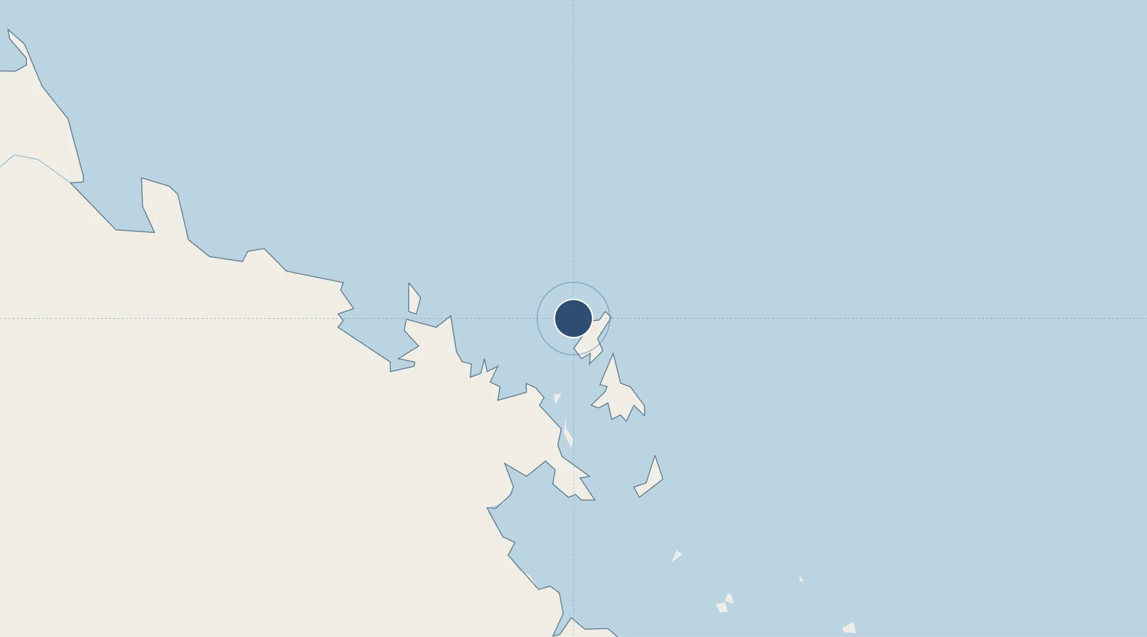
Location
Nearby Logistics Neighbours
Airports
- 1Hamilton Island Airport34 km
- 2Proserpine Whitsunday Coast Airport59 km
- 3Mackay Airport127 km
- 4Moranbah Airport237 km
- 5Townsville Airport / RAAF Base Townsville239 km
Cities
- 1Whitsunday Island25 km
- 2Abell Point29 km
- 3Red Hill49 km
- 4Abbot Point85 km
- 5Pleystowe122 km
Ports
- 1Mackay123 km
- 2Hay Point143 km
- 3Townsville234 km
- 4Lucinda318 km
- 5Mourilyan Harbour398 km
Trade Zones
DatabookThe Record of Consolidated Knowledge
Australia beyond logistics?