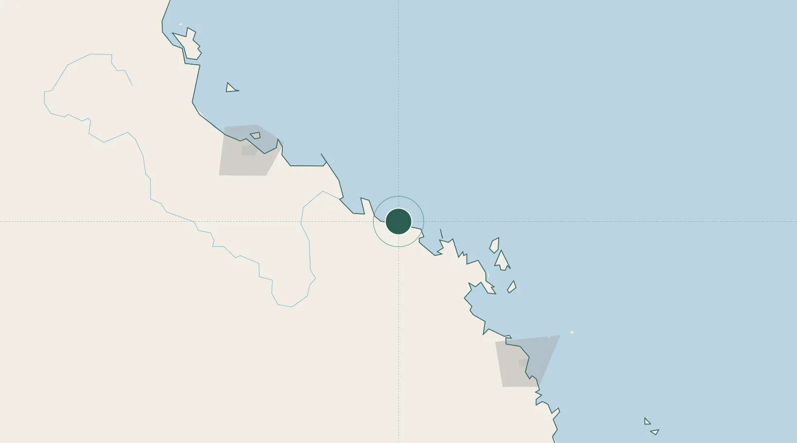
UN/LOCODE hub · Australia
AUABP

Abbot Point

-19.9000°, 148.0833°
1
Transport functions

Transport Functions

Port
UN/LOCODE

Hub Profile

Region
QLD
GeoNames

Location

Location of AUABP
Natural Earth 10m (public domain) · QLD · AUABP · -19.90, 148.08GoogleOSMYandex

Nearby Logistics Neighbours

Cities
  1. 1Red Hill64 km
  2. 2Abell Point78 km
  3. 3Whitsunday Island105 km
  4. 4Townsville148 km
  5. 5Garbutt155 km
Nearest neighbours — logibook spatial index (haversine) over the source coordinates
Ports
  1. 1Townsville150 km
  2. 2Mackay180 km
  3. 3Hay Point199 km
  4. 4Lucinda240 km
  5. 5Mourilyan Harbour328 km
Nearest neighbours — logibook spatial index (haversine) over the source coordinates
Airports
  1. 1Proserpine Whitsunday Coast Airport82 km
  2. 2Hayman Island Resort Seaplane Base85 km
  3. 3Hamilton Island Airport104 km
  4. 4Townsville Airport / RAAF Base Townsville156 km
  5. 5Mackay Airport182 km
Nearest neighbours — logibook spatial index (haversine) over the source coordinates
Trade Zones
  1. 1Paga Hill Estate Special Economic Zone1163 km
  2. 2Ihu Special Economic Zone1366 km
  3. 3Ledger Atlas Special Economic Zone1479 km
  4. 4Nadzab (Momase) Special Economic Zone1486 km
  5. 5Morobe Agricultural Special Economic Zone1493 km
Nearest neighbours — logibook spatial index (haversine) over the source coordinates
DatabookThe Record of Consolidated Knowledge
Australia beyond logistics?
Browse databook

All Sources

LocationsUN/LOCODE
UN/LOCODE — free
Portsthe NGA World Port Index
Public domain (US gov)
AirportsOurAirports
Public domain
Trade Zonesthe World Bank SEZ database
CC BY 4.0
Trade ZonesOpen Zone Map
CC BY
← Australia locations