UN/LOCODE hub · Australia
AUTSV
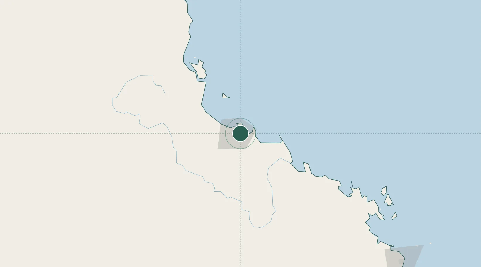
Townsville
-19.2744°, 146.8391°
201,313
Population
2
Transport functions
Transport Functions
Port
Airport
Hub Profile
Place type
Populated place
Region
Queensland
Population
201,313
Time zone
Australia/Brisbane
Elevation
15 m
Logistics facilities
9
Location
Nearby Logistics Neighbours
Cities
- 1Garbutt8 km
- 2Mount Louisa11 km
- 3Hinchinbrook Island115 km
- 4Abbot Point148 km
- 5Red Hill209 km
Ports
- 1Lucinda100 km
- 2Mourilyan Harbour201 km
- 3Cairns285 km
- 4Mackay322 km
- 5Hay Point340 km
Airports
Trade Zones
DatabookThe Record of Consolidated Knowledge
Australia beyond logistics?