Transport Functions
Multimodal
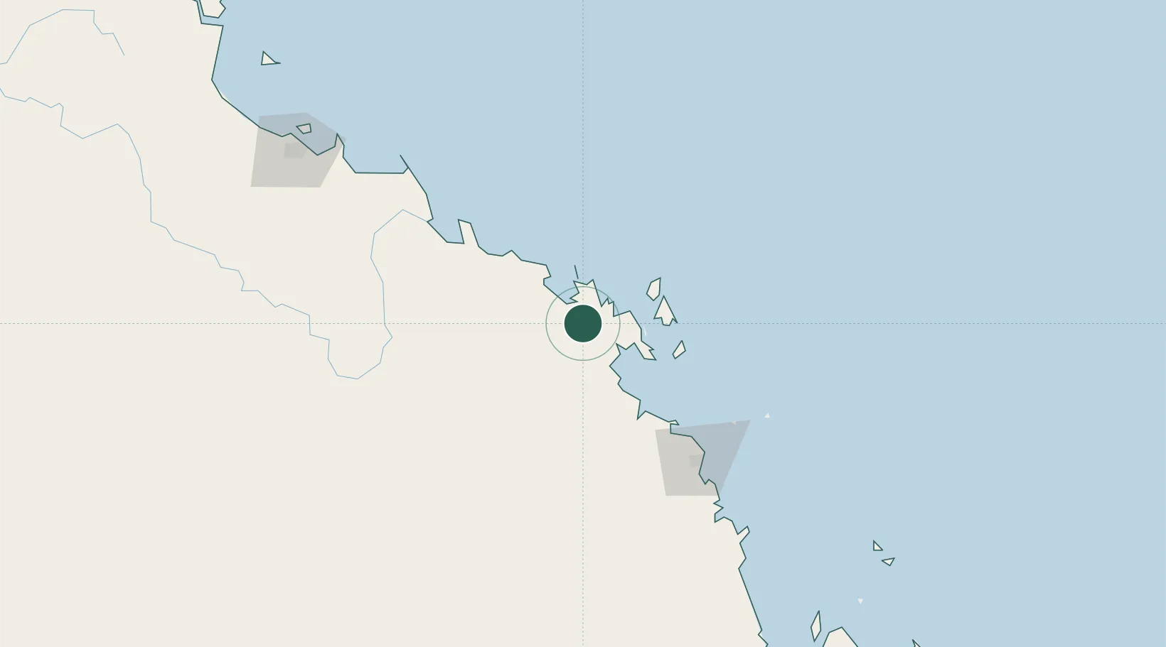
Hub Profile
Place type
Populated place
Region
Queensland
Population
5,406
Time zone
Australia/Brisbane
Elevation
32 m
Location
Nearby Logistics Neighbours
Cities
- 1Abell Point23 km
- 2Whitsunday Island54 km
- 3Abbot Point64 km
- 4Pleystowe107 km
- 5Mackay118 km
Ports
- 1Mackay116 km
- 2Hay Point136 km
- 3Townsville211 km
- 4Lucinda303 km
- 5Mourilyan Harbour391 km
Airports
- 1Proserpine Whitsunday Coast Airport21 km
- 2Hamilton Island Airport47 km
- 3Hayman Island Resort Seaplane Base49 km
- 4Mackay Airport119 km
- 5Moranbah Airport199 km
Trade Zones
DatabookThe Record of Consolidated Knowledge
Australia beyond logistics?