Medium airport · Australia

Hamilton Island AirportYBHM
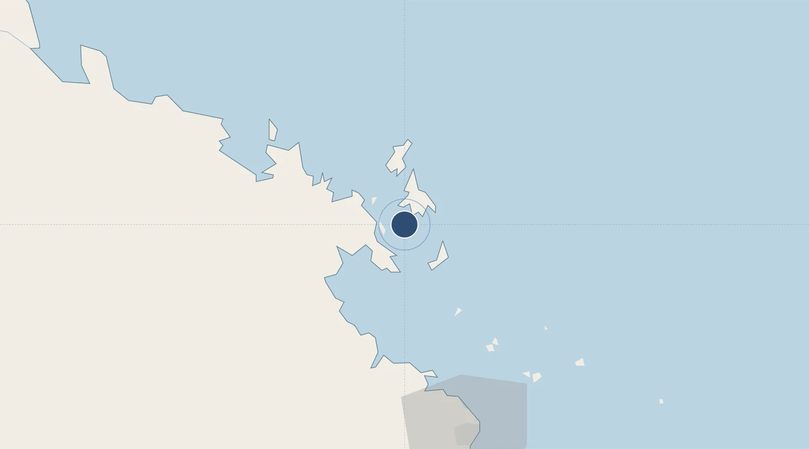
-20.3581°, 148.9520°
5,591 ft
Longest runway
1
Runways
15 ft
Elevation

Runway & Layout

Hamilton Island Airport runway & taxiway layout
Runway & taxiway layout — OpenStreetMap (ODbL) / OurAirports

Radio Frequencies

ATIS
114.4 MHz
TWR
118.7 MHz
CTAF
126.7 MHz
FSS
135.5 MHz
BRISBANE CNTR
OurAirports

Navaids

HM VOR-DME Hamilton Island 114.40 MHz
HM NDB Hamilton Island 383 kHz
OurAirports

Runways · 1

RunwayDimensions SurfaceTrue headingLit
14/32 5,591 × 148ft Asphalt 143°
OurAirports

Airport Specifications

IATA code
HTI
OurAirports
ICAO code
YBHM
OurAirports
Airport class
Medium airport
OurAirports
Scheduled service
Yes
OurAirports
Runway surface
Asphalt
OurAirports
Served city
Hamilton Island
OurAirports

Location

Location of YBHM
Natural Earth 10m (public domain) · Coral Sea Islands · YBHM · -20.36, 148.95GoogleOSMYandex

Nearby Logistics Neighbours

Airports
  1. 1Hayman Island Resort Seaplane Base34 km
  2. 2Proserpine Whitsunday Coast Airport44 km
  3. 3Mackay Airport94 km
  4. 4Moranbah Airport210 km
  5. 5Dysart Airport259 km
Nearest neighbours — logibook spatial index (haversine) over the source coordinates
Cities
  1. 1Whitsunday Island14 km
  2. 2Abell Point27 km
  3. 3Red Hill47 km
  4. 4Pleystowe88 km
  5. 5Mackay94 km
Nearest neighbours — logibook spatial index (haversine) over the source coordinates
Ports
  1. 1Mackay89 km
  2. 2Hay Point109 km
  3. 3Townsville254 km
  4. 4Lucinda343 km
  5. 5Port Alma409 km
Nearest neighbours — logibook spatial index (haversine) over the source coordinates
Trade Zones
  1. 1Paga Hill Estate Special Economic Zone1225 km
  2. 2Ihu Special Economic Zone1438 km
  3. 3Ledger Atlas Special Economic Zone1535 km
  4. 4Nadzab (Momase) Special Economic Zone1548 km
  5. 5Morobe Agricultural Special Economic Zone1561 km
Nearest neighbours — logibook spatial index (haversine) over the source coordinates
DatabookThe Record of Consolidated Knowledge
Australia beyond logistics?
Browse databook

All Sources

AirportsOurAirports
Public domain
Portsthe NGA World Port Index
Public domain (US gov)
LocationsUN/LOCODE
UN/LOCODE — free
Trade Zonesthe World Bank SEZ database
CC BY 4.0
Trade ZonesOpen Zone Map
CC BY
InfrastructureOpenStreetMap
ODbL 1.0
← Australia airports