UN/LOCODE hub · Australia
AUMLS
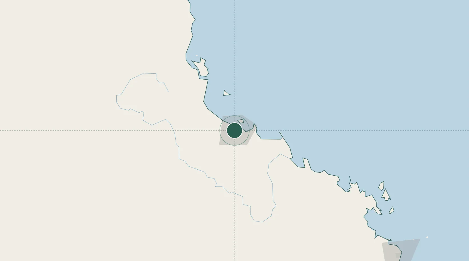
Mount Louisa
-19.2833°, 146.7333°
8,604
Population
2
Transport functions
Transport Functions
Rail
Road
Hub Profile
Place type
Urban district
Region
Queensland
Population
8,604
Time zone
Australia/Brisbane
Elevation
10 m
Location
Nearby Logistics Neighbours
Cities
- 1Garbutt4 km
- 2Townsville11 km
- 3Hinchinbrook Island111 km
- 4Abbot Point157 km
- 5Red Hill218 km
Ports
- 1Townsville9 km
- 2Lucinda95 km
- 3Mourilyan Harbour198 km
- 4Cairns282 km
- 5Mackay330 km
Airports
Trade Zones
DatabookThe Record of Consolidated Knowledge
Australia beyond logistics?